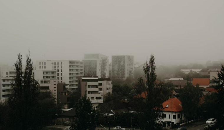
Fog is rolling through the Philadelphia area this morning, with the National Weather Service reporting visibility down to a quarter mile or less in some spots; a Special Weather Statement released at 5:38 AM EDT pinpoints the impacted zones, which include major cities like Wilmington, Dover, and Philadelphia, as a heads up to commuters who might find themselves wading through these less-than-clear conditions.
The NWS advises that the patchy dense fog is expected to lift after sunrise, hopefully leading to a sunnier trajectory for the day, with the forecast predicting an optimistic high near 81 degrees and calm winds that will later pick up a little speed, coming from the southwest at around 5 mph.
As the night unfolds, skies are expected to remain mostly clear with temperatures hovering near 60 degrees. These mild conditions reflect the typical calm of early October, but a shift is on the way, with a 70% chance of showers and possible thunderstorms forecast for Tuesday night.
For those wondering about the rest of the week, well, the calm skies won't last long, the weather service forecasts increasing clouds for Tuesday with another warm high near 79, clouds are bringing a 70% chance of showers and thunderstorms, mostly after 2 am, bringing potentially new rainfall which could be between a half and three quarters of an inch.
So, while Wednesday might beckon with showers and potential thunderstorms, and a notable drop in the temperature to around 70 degrees, the latter half of the week looks promising; with the NWS detailing a series of clear nights and sunny days leading into the weekend, highs in the mid-60s to 70, and lows dipping into the mid-40s to low 50s.
The detailed forecast and the Special Weather Statement can be found on the National Weather Service website.


