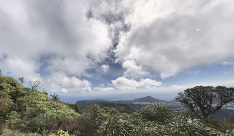
Hawaii's serene island atmosphere is on the cusp of a notable shift as weather conditions are set to change this coming week. The National Weather Service in Honolulu indicates mostly dry conditions and light southeast winds until Tuesday, though island residents can anticipate more cloudiness in leeward areas due to the daily sea breezes and nighttime land breezes.
By Wednesday, a cold front is expected to move over Niihau and Kauai and may reach as far east as Oahu, bringing northerly winds and increased precipitation. Trade winds are forecast to return Thursday into the weekend, though timing may change as the front progresses. Earlier in the week, a high-pressure ridge kept skies mostly clear, with dewpoints in the mid-60s at Honolulu and upper 50s at Kahului.
Flight conditions remain favorable, with VFR and no active AIRMETs in the region. Coastal waters, however, are affected by a large northwest swell, with wave heights of 25–45 feet expected on north and west shores Sunday. A High Surf Warning is in effect for multiple coastal zones, and wave heights are expected to gradually decrease on Monday.
A high-pressure ridge is expected to remain over Hawaii into early next week, bringing light to moderate southeast winds and daytime near-shore sea breezes. Meanwhile, a large northwest swell is raising significant waves, prompting a High Surf Warning for the west shores of the Big Island starting tonight. The same swell, peaking Sunday, has also prompted a Small Craft Advisory for surrounding waters, effective from noon today through Monday.
Fire weather risk remains low despite dry conditions this weekend and into next week. Relative humidity is expected to drop into the low- to mid-40% range in some leeward areas, but light winds keep fire weather thresholds from being triggered.


