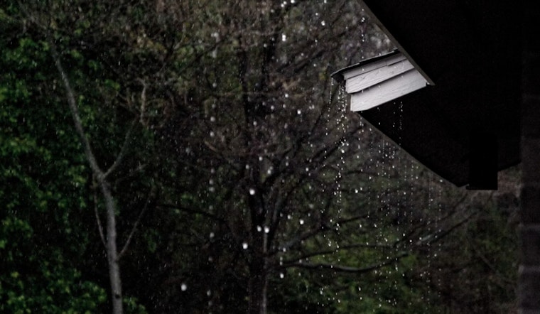
Residents and visitors in Honolulu can expect a mixed bag of weather conditions in the early part of this week, with an uptick in potential for heavy rain and thunderstorms as Monday gives way to Thursday. According to the National Weather Service's Honolulu forecast, while there may be some light showers passing over the windward communities, most of the rainfall should remain confined to higher elevations through tomorrow afternoon.
Tomorrow, the weather outlook begins to shift as a weakening higher pressure and an approaching upper trough promise to stir the pot over the Hawaiian Islands. "It is a bit early to determine the evolution of this trough but it will more than likely pull up moist equatorial air northward over the islands while destabilizing the regional atmosphere," as stated by the NWS. With this instability in play, there are higher chances of isolated thunderstorms, particularly around the areas between the Kauai and Alenuihaha Channels come Tuesday.
Furthermore, this transition could lead to significant rainfall, raising concerns for potential flooding, especially on the Big Island. "Confidence is mounting that the highest threat from thunder will anchor in the proximity of Oahu and Maui County while the highest rainfall that could lead to flooding will focus on Big Island," as mentioned by the National Weather Service. In terms of temperatures, freezing levels are slated to plummet to around 12,000 feet, setting the stage for snow showers to pepper the summits of Big Island's Mauna Kea and Mauna Loa.
In the maritime domain, sailors and marine enthusiasts might want to be on guard. The same NWS forecast predicts a dial-down in trade wind speeds, veering to a more easterly to southeasterly direction as we march into Tuesday. A cold front is expected to trail this change, possibly leading to stronger easterly-northeasterly winds behind it before diminishing over northwest coastal waters by Wednesday. "Expect Small Craft Advisories to be issued for most of the Hawaiian coastal waters from Wednesday into Friday due to a combination of strengthening winds and rising seas," the forecast advises. As for the surfers, multiple Northwest swells are anticipated, promising to elevate surf heights across the northern and western shores through the week.
When it comes to fire weather, the risk appears low, thanks to recent rainfall and clouded skies that have increased humidity and tempered winds. However, a return to a more tempestuous weather pattern is on the cards from tomorrow night onward. All in all, it's going to be an active week for weather in Hawaii, with residents and sightseers alike advised to keep a close watch on the skies.


