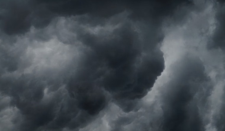
Honolulu is bracing for a cocktail of weather patterns, with the National Weather Service (NWS) forecasting moderate trade winds set to deliver showers mainly across windward and mauka areas. A looming upper-level low southwest of the islands is also dragging a raft of high clouds into the mix. According to the National Weather Service, this upper-level low is expected to "strengthen Tuesday afternoon into Wednesday," posing an increased risk of heavy showers and isolated thunderstorms, along with the potential for flooding, particularly at the eastern end of the island chain.
Radar and satellite images show widespread rain across Hawaii, with high clouds moving in from the southwest. According to the NWS, an upper-level trough that will absorb a nearby low is expected to boost rainfall. While weather models differ in some details, both the GFS and ECMWF agree that moisture will increase sharply by Tuesday afternoon, especially over the southeast and windward areas of the Big Island.
Flight conditions are expected to stay at VFR levels today, but that may change by Tuesday evening. An AIRMET Sierra remains in effect for mountain obscuration in windward areas across several islands. The NWS also notes that additional AIRMETs for turbulence (Tango) and light icing (Zulu) may be issued later.
Mariners should also prepare for changing conditions as a high-pressure ridge north of the islands moves east, shifting trade winds from east to southeast. A weakening front may bring winds near gale strength, so small craft operators are urged to stay alert. By mid to late week, conditions are expected to exceed Small Craft Advisory levels.
Surfers should watch for multiple northwest swells, which are expected to keep surf heights high along northern and western shores. A moderate NNW swell may arrive by late Tuesday, possibly reaching High Surf Advisory levels by Wednesday.
Fire risks remain low due to higher humidity and moderate trade winds. However, the NWS warns that heavy rainfall could affect previously burned areas on the Big Island. There are currently no active watches, warnings, or advisories, but residents are encouraged to stay updated with the latest information from NWS Honolulu.


