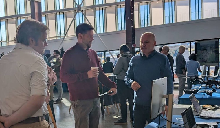
Mapping enthusiasts and newcomers alike, take note: The City of Raleigh is rolling out the welcome mat for GIS Day 2025. Slated for November 19 from 8:30 a.m. to noon, this free event hosted at the City of Raleigh Museum promises to be a hands-on exploration of Geographic Information Systems—crucial tools that have been reshaping our understanding of the spaces we inhabit. For anyone intrigued by the seamless union of innovation and geography, joining this occasion is an opportunity to see, first-hand, how GIS is more than just maps—it's foresight and decision-making crisp as a cool autumn day.
Details released by the City of Raleigh outline a program packed with interactive learning stations and live technology demos. Participants can get their hands on the latest mapping tools, and chat with GIS professionals, who wrestle daily with the practical challenges of their field. It's a chance to grasp how state and local governments have been leveraging these technologies—whether it's in planning efficient transit routes, managing environmental resources, or ensuring every citizen's vote counts.
Adding a communal flavor to the educational fare, numerous partner participants—from the Center for Geospatial Analytics at NC State to Wake County Public School System and beyond—are set to contribute their expertise. These collaborations showcase GIS's vast application across sectors, offering attendees a panoramic view of this technology's integration into public service and civic engagement. The day is not just about observing, but diving in and experiencing the multidimensional puzzle that GIS specialists navigate each day.
The day's agenda also features something for the creators out there—the 2025 GIS Day Map Contest. Open to both students and professionals, the contest is an invitation for cartographers to stitch their unique perspective into a tapestry of original maps, each a narrative thread of GIS-based data or tools. Submissions should not only adhere to specific size and digital format criteria but should also capture the essence of GIS: to inform and enlighten through the visualization of location-based data.


