The National Weather Service in San Francisco has issued alerts for coastal hazards, effective through 10 PM Sunday night, along the Pacific Coast. According to their latest Beach Hazards Statement, sneaker waves and rip currents pose an increased risk to beachgoers, in addition to breaking waves anticipated to reach heights of 13 to 18 feet. Experts warn that sneaker waves can rush farther up the beach than expected, catching individuals off guard and potentially sweeping them into dangerous waters. The NWS San Francisco advises the public to "Stay off of rocks and waterside infrastructure and remain out of the water to avoid hazardous swimming conditions."
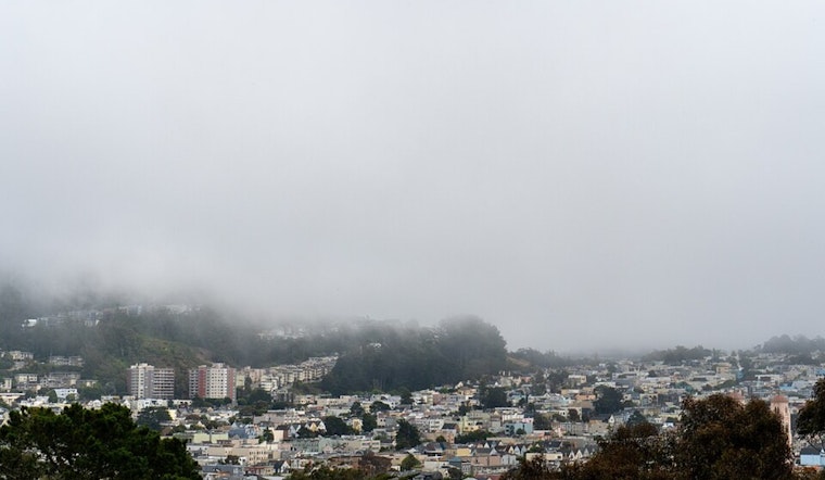
Residents can expect a shift in weather as the Bay Area transitions to milder temperatures, according to the NWS's Area Forecast Discussion. With stratus clouds likely to dissipate throughout the morning, the forecast suggests mostly sunny skies with possible lingering cloud cover in certain East Bay regions. However, temperature predictions may need to be slightly adjusted should the stratus linger longer than anticipated. The NWS San Francisco states, "High temperatures today will range from the upper 50s to the middle 60s across most of the Bay Area." They further note that drivers should "slow down, use low beam headlights, and leave extra space between them and the car in front" in case patchy or dense fog develops.
Over the next week, the local weather is expected to remain consistent, with light offshore flows and dry, clear skies. Despite a couple of troughs possibly extending into the Intermountain West, the Bay Area is expected to stay precipitation-free. Only a slight chance of rain is predicted towards the end of next week, with the Climate Prediction Center forecasting a mere 33-40% probability of above-seasonal averages for the Central Coast.
Concerning air travel, the NWS's aviation update indicates that morning fog and low stratus may affect flight visibility. By afternoon, improved conditions with VFR (Visual Flight Rules) are expected to prevail. Coastal mariners should also be cautious, as moderate northerly winds and an incoming westerly swell could lead to hazardous sea conditions by midweek.


