Texas is quietly kicking the tires on a massive idea: turning 671 miles of U.S. 287 into a stoplight-free interstate from Port Arthur on the Gulf Coast all the way up to Amarillo in the Panhandle. A new feasibility review pitches the concept as a way to ease freight congestion, better serve seaports and military installations, and juice long-term jobs and GDP in communities along the route. At the same time, the report is clear that this is planning, not a construction green light, and any interstate designation would take years plus federal approval.
What The State Studied
According to the Texas Department of Transportation, the US 287 Corridor Interstate Feasibility Study looks at whether the highway can be brought up to interstate design standards across 671 miles, from Port Arthur to Future I-27 in Amarillo. The fact sheet notes that the corridor slices through nine TxDOT districts, 55 counties, and about 68 cities, and it details stakeholder groups and rounds of public meetings built into the process.
Scope, Costs, And Projected Payoff
As reported by CHRON, the feasibility review finds that about 632 miles of the corridor would need upgrades to meet interstate standards. The Chronicle summary also says preliminary construction and project development costs are pegged at about $24.52 billion, while the report projects a $39.6 billion net benefit, nearly 50,000 new jobs, and an $11.6 billion bump to GDP by 2050. Those gains are tied to expected population growth along the corridor, which the analysis estimates will climb from roughly 8.8 million residents today to around 12 million in the coming decades.
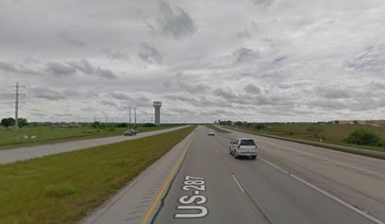
What It Would Look Like On The Ground
As the Amarillo Tribune reports, TxDOT has been holding segment working-group sessions and stakeholder meetings up and down the corridor to flag safety, mobility, and operational fixes that could come first. In the Panhandle and other stretches, planners are already studying relief routes, loop expansions, and interchange upgrades that could eventually tie into any future interstate alignment.
Politics And Next Steps
The planning machinery behind the scenes is active. The Ports-to-Plains Alliance and several congressional offices have pushed for planning grants and city-location studies to move individual segments closer to interstate standards, including multi-million-dollar requests for early-stage work, according to the Ports to Plains Alliance. That political pressure matters because the feasibility review does not come with a dedicated state or federal funding source, and any formal interstate designation would still need Congressional approval plus lengthy environmental and engineering reviews.
Timeline: A Project For The Long Haul
TxDOT characterizes the effort as a multi-phase feasibility study meant to feed into environmental review, preliminary engineering, and future project development, not as a construction schedule, according to the Texas Department of Transportation. For cities and towns along U.S. 287, that likely translates into incremental, targeted improvements arriving first, while the bigger question of an interstate corridor - and how to pay for it - plays out over many years.


