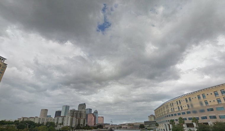
Residents across the Tampa FL area woke to a curtain of dense fog this morning, as visibility dropped to a precarious quarter mile or less in certain locations, prompting the National Weather Service to issue a Special Weather Statement for a swath of west central and southwest Florida. The statement, coming from the National Weather Service's Tampa Bay Area office in Ruskin FL at 5:49 AM EST, warned of patchy dense fog affecting Citrus, Highlands, Hernando, Levy, Hardee, Charlotte, Polk, Sarasota, Sumter, Pasco, Manatee, Pinellas, and Hillsborough counties, and suggesting motorists should adjust their driving accordingly by lowering their speeds and utilizing low beam headlights.
The weather outlook, aside from the early fog concerns, seems to be a respite from any severe conditions, with the follow-up forecast signalling a day of sunny skies and a pleasant high nearing 78 degrees, though the calm of the morning wind is expected to pick a little becoming west around 6 mph in the afternoon, a likely welcome development as it may help dispel the remaining fog which added a slower pace to the morning's commute and all this after the misty start to the day with 100% humidity as observed in the early hours of today.
Looking ahead, the week's forecast according to National Weather Service's detailed forecast, remains generally optimistic for Tampa residents with sunshine persisting over the weekend and into the early part of next week with highs consistently near the upper 70s, although the temperatures are predicted to drop slightly come Tuesday, reaching a more comfortable high of around 66 degrees following a partly cloudy Monday night with lows settling at about 56 degrees.
The switch-up will see Tuesday night likely needing an extra blanket with lows plunging down to around 42 degrees, but fret not, the anticipated chill won't linger too long, moving forward, the days that round off the year and usher in the new bridge us back to sunshine, with temperatures slowly climbing back to the mid-60s.


