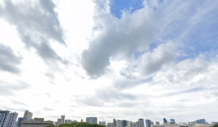
Expect a drier start next week in Honolulu, as the weather forecast suggests a decrease in shower activity and an uptick in sunny skies, according to the National Weather Service (NWS) in Honolulu. The current breezy easterlies will ease off throughout today, with higher chances of rain primarily afflicting windward Big Island and Maui; however, residents can anticipate mostly clear and dry conditions over the weekend.
While an upper trough west of the islands is on the wane, continuing its northward path, the NWS reports that "the surface pressure gradient from the surface high centered 1,400 miles northeast of Oahu is tight enough across the region to support moderate to locally strong offshore easterlies," and these conditions are expected to persist, bringing gusty winds particularly around terrain of high elevation and windward exposures, though a drying atmosphere is suggested by satellite imagery, indicating less of a threat from thicker cloud formations in the immediate future. The forecast anticipates only minimal rain, primarily within higher elevations and on the upsloping windward sides, further supporting a prediction for sunnier days ahead.
Marine conditions will also see changes, with strong eastern seas remaining through tomorrow, triggering advisories for mariners around the majority of the Hawaiian archipelago. Swelling northwestern tides have caused surf heights to climb above High Surf Advisory (HSA) levels, but this swell is expected to decrease and shift northward as the weekend progresses, according to the NWS.
Surfers riding the north and west facing shores should be wary as the current swell is predicted to "hold today, then gradually fade and veer to the north northwest through the remainder of the weekend and into early next week," as per the NWS; however, a less imposing experience is in store as the swell diminishes. Pointing to an additional surge, east shore surf conditions will roughen as trade winds pick up, yet south-facing shores will continue to see minimal action. Meanwhile, peak monthly tides and higher-than-anticipated water levels could lead to minor shoreline and low-lying area flooding, predominantly around the early morning peak tide, when coastal effects from the high surf might also be magnified.
For those concerned about fire risks, the likelihood of critical fire weather conditions is currently assessed as low by the NWS. Light and at times moderate trade winds persist, but below the threshold that would typically heighten fire concerns in the region. Nevertheless, it's the absence of significant rainfall that remains a point of attention, with the NWS noting that this could intensify already arid conditions statewide.


