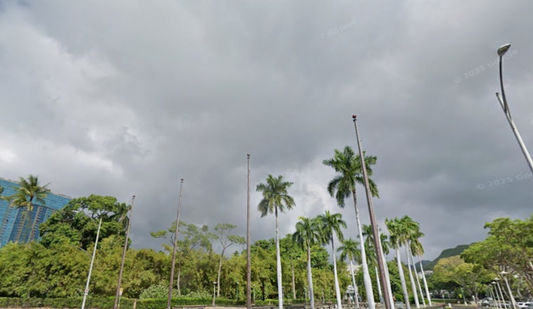
The National Weather Service in Honolulu is currently tracking a light to moderate weather pattern that is expected to bring varying conditions across the Hawaiian Islands over the next seven days. According to the National Weather Service latest forecast, the western islands are set to experience cloudy and unsettled wet weather, while a drier easterly pattern will prevail over Maui and the Big Island. Two cold front systems are predicted to influence the state's weather, creating potential for heavy showers and thunderstorms, particularly across the western half of Hawaii.
A cold front that has been moving through the Kauai Channel towards Oahu is anticipated to bring periods of showers and possible thunderstorms as it stalls and weakens into a trough. The National Weather Service cautions, "The highest shower amounts will develop along the frontal or trough axis." In response to the forecast, a Flood Watch is in effect through Monday night for Niihau, Kauai, and Oahu due to the risk of convective flash flooding. The weather pattern is expected to remain unsettled into the coming weekend, with low pressure troughing just north of Hawaii.
Aviation conditions across the Hawaiian Islands are similarly affected, with a band of showers causing MVFR, and at times IFR, conditions as it moves onto Oahu from the southwest. Moderate southerly winds are forecasted ahead of the front, followed by light and variable winds in the system's wake. The National Weather Service has issued an AIRMET Sierra for mountain obscuration for the islands of Kauai and Oahu, with a potential downgrade to an IFR AIRMET should conditions deteriorate further.
Weather conditions will affect ocean activity. A cold front could bring showers and thunderstorms to western coastal waters. After it passes, winds will weaken but turn stronger from the south through midweek as another front approaches. A High Surf Advisory is in effect from noon today until 6 p.m. Monday for several north- and west-facing shores. A Small Craft Advisory has also been expanded to all waters around Kauai and Oahu due to large waves and strong winds, lasting until Monday evening, according to the National Weather Service.
Fire weather concerns are low, with conditions staying below danger levels. Light to moderate southerly winds are expected in the western part of the state. Maui and the Big Island should see more stable weather with less chance of rain. Temperature inversion levels around 7,000 to 8,000 feet suggest calm surface conditions will continue, as per the National Weather Service.


