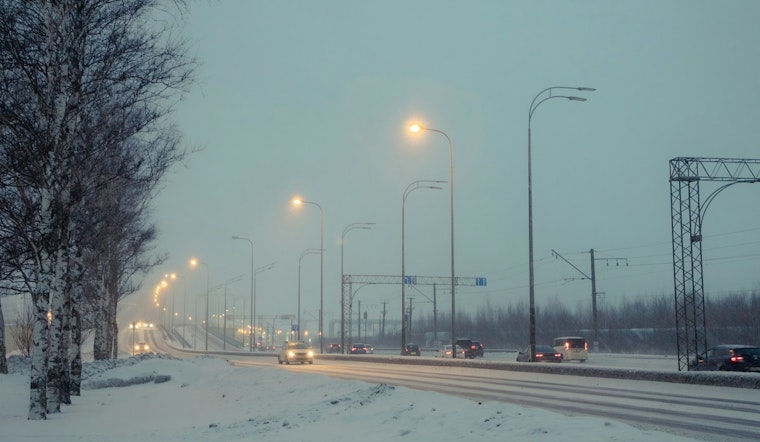
The National Weather Service (NWS) has issued a Winter Storm Watch for Charlotte, N.C., and surrounding regions, signaling the possibility of heavy snow and strong winds from Friday afternoon through Sunday morning; travel disruptions and power outages may be imminent as a result. A light and variable wind brings today's high near 40 degrees, while the low might reach 23 tonight, but conditions are expected to deteriorate rapidly heading into the weekend.
For those planning to navigate the roads, the NWS warns that the snow, combined with gusts ranging between 25 to 35 mph, will likely render "many roads impassable" and could "produce scattered power outages due to the weight of the snow on tree limbs and power lines," residents should brace themselves for evidently risky commutes by Friday evening; moreover, gusty winds on Saturday could result in areas of blowing snow, causing very poor visibility. According to the detailed forecast, the NWS predicts snow accumulation between 1 to 2 inches is possible Friday night, with the chance of precipitation jumping to 90% on Saturday, the high estimated to hover near 27 degrees.
The affected areas, extending beyond Charlotte, include northeast Georgia, western North Carolina, and Upstate South Carolina, with possible total snow accumulations ranging between 4 to 7 inches east of I-26, and between 2 to 4 inches elsewhere in the watch area, indicating a widespread event impacting multiple states. Residents and travelers are advised by the NWS to "Monitor the latest forecasts for updates on this situation," as the forecast and conditions can change.
The NWS notice highlighted the likely scenario that snow "is expected to rapidly stick to roads and other surfaces due to temperatures in the 20s," suggesting that normal routines could see major interruptions even as early as Friday evening, the frosty claws of winter are clearly set to tighten their grip on the region, potentially tossing plans astray with a mix of ice and wind. Residents in the Charlotte area and the broader watch zone should prepare for potential winter conditions and stay updated through the NWS and local news outlets.


