Honolulu residents, brace yourselves for a shift in the weather as southeast winds are expected to replace the usual trades later today, causing an uptick in warmth and moisture for the week ahead, as per the National Weather Service in Honolulu. Although showers remain light today, mainly hitting windward and mauka areas with mere hundredths of an inch, an incoming cold front from the west could spell increased rainfall for the western counties starting Wednesday and potentially spreading throughout the state.
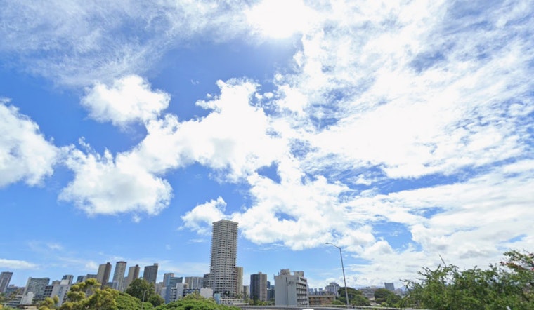
With the island's satellite imagery capturing low clouds on their approach this morning, led by the trade winds, it is clear that the surface high northeast of Hawaii is moving farther to the northeast. This shift will catalyze a wind change to the southeast and a gradual rise in both the chance and intensity of showers by the time Monday rolls around. Those planning outdoor activities may want to keep umbrellas close at hand come midweek, as a weakening cold front moves in, creating uncertainty in precipitation forecasts and leaving weather models without a clear consensus, even though an increased likelihood of rainfall is on the horizon from west to east across the state from Wednesday to Thursday.
The graduation from breezy trades to lighter southeast winds means the aviation outlook is slightly better, with sporadic, brief showers forecast for windward and mauka zones this morning that could cause momentary MVFR conditions. For those taking to the skies today, expect prevailing VFR overall, according to the NWS. Turbulence-wise, pilots can anticipate an easing as well, with AIRMET Tango in place for low-level roughness destined to be lifted later on as conditions improve.
Heads up to mariners and beachgoers: A Small Craft Advisory is in effect for most coastal waters today, thanks to a northwest swell generating SCA-level seas. The NWS has hoisted a High Surf Advisory across various shores, attributable to the aforementioned swell that is expected to peak by afternoon and subside by tonight, before the seas get a rerun with another swell predicted to arrive Tuesday and maintain elevated surf through midweek. Meanwhile, as the trade winds take a step back and veer southeastward in advance of the encroaching front, surf along east-facing shores will see a drop-off.
For those residing in or visiting the areas under advisory, take note: the High Surf Advisory remains in place until 6 AM HST tomorrow for several regions, including Niihau, Kauai Leeward, and the North Shore of Oahu, among others. Concurrently, the NWS continues the Small Craft Advisory for a list of waters, with details that can be found on their website, so be careful as you embark on coastal activities and make note of the changing conditions.


