Milwaukee woke up cold but clear on Thursday, with temps near 16°F after a frosty night, yet it will not feel like midwinter for long. Sunshine and light southwest breezes will push highs to around 40°F by afternoon, a brief warmup before Friday turns outright balmy and gusty. Then winter snaps back into place over the weekend with a quick drop in temperatures and a narrow, tricky band of snow in play.
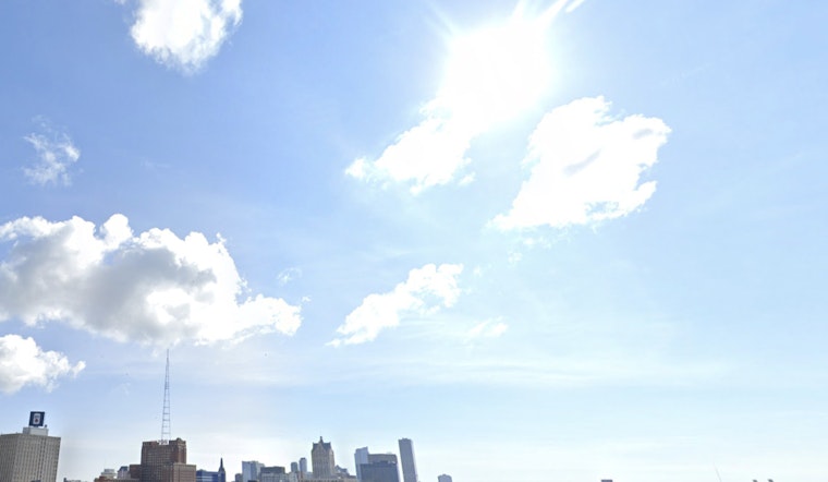
Thursday Afternoon (Thursday, February 26, 2026)
Skies stay mostly sunny through the day, and temperatures climb steadily to a high near 40°F. Southwest winds remain on the light side, around 0 to 10 mph. Inland neighborhoods should warm up a bit faster than lakeshore spots as the afternoon goes on.
Friday: Warm And Windy (Friday, February 27, 2026)
Friday is the headline day, with highs near 56°F and a solid southwest breeze of 10 to 15 mph. Gusts could reach up to 30 mph, which may make outdoor plans feel blustery and send lightweight patio furniture, signs, or trash bins skittering around. It is a good idea to secure anything that might blow over before those afternoon gusts peak.
Saturday Snow Chance (Saturday, February 28, 2026)
Colder air returns and sets the stage for a narrow east to west band of accumulating snow on Saturday. There is a 50% chance of precipitation, with a high near 31°F. Around one inch of new snow is possible, with locally higher totals where the band lines up. Forecasters are not yet confident on the exact placement of that band. The National Weather Service notes it could fall anywhere from southern Wisconsin into northern Illinois, with a tight corridor of heavier totals. If you have Saturday evening plans, you will want to keep an eye on forecast updates in case that band shifts closer.
Saturday Night Into Sunday (Saturday Night, February 28 Into Sunday, March 1, 2026)
High pressure builds in Saturday night, skies clear out, and temperatures take a sharper dip. Lows fall to around 15°F, with wind chills dropping into the single digits. Sunday turns out noticeably colder than Friday, with a high near 27°F and lighter winds settling in.
How To Prepare
Tie down or move inside outdoor furniture, trash bins, and any loose items before Friday so the gusts do not turn them into projectiles. If you are driving, allow extra time and be ready for changing conditions through the weekend. For road conditions and live camera views, check 511 Wisconsin, and keep tabs on local transit alerts if you commute. If you are heading out Saturday afternoon or evening, check updated forecasts first, since that narrow snow band could create slick, localized trouble spots.
In short, Milwaukee gets a mild Thursday and a warm, windy Friday, followed by a fast flip back to colder air and a spotty snow chance on Saturday as the forecast continues to evolve over the next 48 hours.


