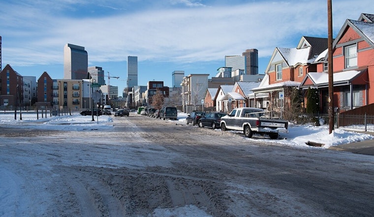
Denver woke up to clear skies and low 30s at KBJC this morning, and the city is on track for a quick climb into the mid 60s on Monday, February 23. It is a short but sweet stretch of mild, dry weather before a much windier system muscles in.
Afternoon Warm-Up And Tuesday Watch
Mostly sunny skies and highs near 66°F are on tap across the metro today, with light west-southwest breezes around 5 mph and overnight lows settling in the mid 30s. The NWS Denver/Boulder has already posted a High Wind Watch for parts of the Front Range foothills and adjacent plains from Tuesday morning into the afternoon. Strong gusts could make driving tricky, especially for taller vehicles, and increase the risk of rapid fire spread in dry spots. Secure anything that might go flying around the yard and take it slow if you are driving a high-profile vehicle.
What To Expect Tuesday
On Tuesday, winds strengthen out of the west, with the foothills and eastern plains favored for the strongest gusts while most city neighborhoods deal with more of a steady, breezy day. Afternoon relative humidity will drop across the plains, creating a period of elevated to possibly critical fire weather, so skip the yard burning and keep a close eye on any grill or outdoor flame. For a reminder of how these gusty afternoons have already tangled up commutes this week, check out our earlier coverage: gusty commutes earlier this week, as per Hoodline.
Mountains Midweek
By midweek, snow returns to the high country, with a chance of rain mixing with snow in the Denver metro on Wednesday night and travel impacts possible on exposed mountain passes into Thursday. The NWS forecast keeps the highest chances over the higher terrain, where blowing snow could make travel difficult. Plan on extra time, and check mountain road reports before heading for the passes. If your trip is optional, consider holding off until conditions calm down.
Plan Ahead
Tie down patio furniture, secure tarps and trash bins, and be prepared for gusty crosswinds on exposed stretches of I-25 and area bridges. If you have outdoor plans on Tuesday, move them earlier in the day or bring them inside if you can. For mountain travel on Wednesday and Thursday, allow for delays and double-check the latest road status. We will update this space if current watches are upgraded to warnings.


.jpg)