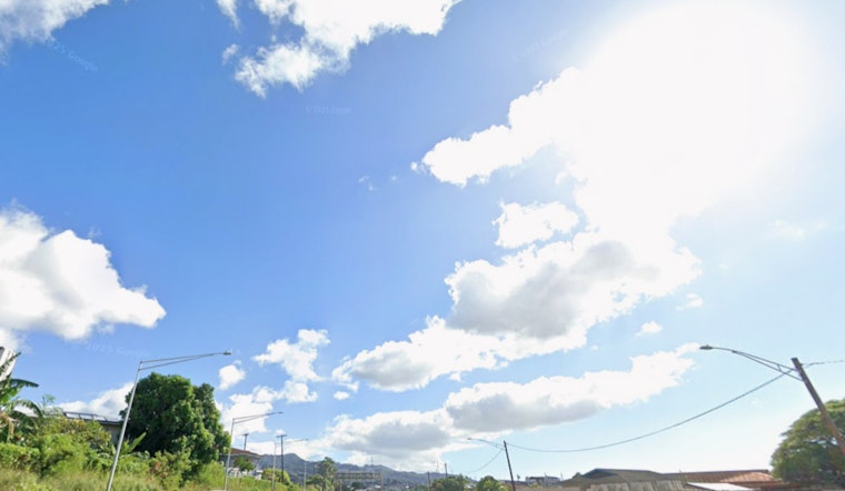
Honolulu is starting Saturday, February 28, 2026, on a mellow note, with mostly clear skies, morning temperatures hovering near 67°F and a warm high around 82°F expected this afternoon. Light east winds and local sea breezes will keep most neighborhoods dry through the day. A weak frontal band hanging near Kauai is set to drag in some extra clouds on Sunday, which will bump up the odds of isolated showers over windward and mauka slopes.
Afternoon and Weekend Outlook
This afternoon should feel classic Honolulu: warm, partly sunny and comfortable, with light east winds around 7 to 13 mph and overnight lows settling near 70°F. On Sunday, isolated showers become more likely from afternoon into the night, mainly for windward and mountain areas, while leeward spots stay relatively dry outside of a stray passing shower. These temperatures and the brief shower chances line up with the current National Weather Service forecast for Honolulu.
Winds, Surf And Boating
Out on the water, surf along north- and west-facing shores is on an upward trend as a west-northwest swell moves in and gears up to peak early next week. East-facing beaches, by contrast, stay relatively small through Saturday before seeing a modest bump on Sunday. As trade winds strengthen by midweek, short-period chop and locally rough conditions will become more common. Small-boat operators and casual paddlers should keep an eye on harbor notices and take it easy around exposed coasts.
Looking Ahead
Looking into next week, trade winds are forecast to strengthen starting Monday, bringing more persistent windward showers and gustier conditions, with gusts potentially pushing into the 20s mph range. If you are planning outdoor events later in the week, count on breezier conditions and spotty passing showers in windward neighborhoods. For background on how this pattern evolved earlier this week, see our earlier coverage Honolulu Braces As Trade Winds Whip.


