Sacramento’s short break from the wet season is already over. Cloudy skies and upper‑50s temperatures greeted the city on Tuesday morning, and a warm, moisture‑rich storm is lining up to roll through tonight, keeping steady rain in the forecast through Wednesday morning. Commuters can expect slick roads, slower traffic and reduced visibility for much of the day.
Rain And Timing
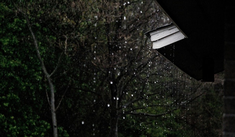
Rain is expected to develop overnight into Tuesday and turn heaviest during the daytime hours, with valley totals landing around one‑half to three‑quarters of an inch. Forecasters are calling for a near 90% chance of precipitation on Tuesday, and some stretches are likely to feature a steady, moderate rain rather than brief hit‑and‑run showers, according to NWS Sacramento.
Commute And Safety
Those steadiest showers are projected to hang around through the morning and into the afternoon commute, so it is a good day to leave early, slow down and be extra cautious around any standing water.
As we noted in our look at the brief dry stretch, the valley just enjoyed a short break over the weekend. This update mainly sharpens the timing and firms up expected rainfall amounts.
Caltrans is urging drivers to check conditions and QuickMap before heading into the Sierra and reminding motorists not to drive through flooded roadways, guidance echoed by Caltrans District 3.
Looking Ahead
Showers should taper off by Wednesday morning, with a drying and warming trend expected later in the week. Highs are forecast to climb into the upper 60s to around 70 by Thursday. Snow levels are expected to remain high, so lower‑elevation areas are not likely to see significant snow impacts. Travelers should keep an eye on the latest forecast from NWS Sacramento before heading out.


