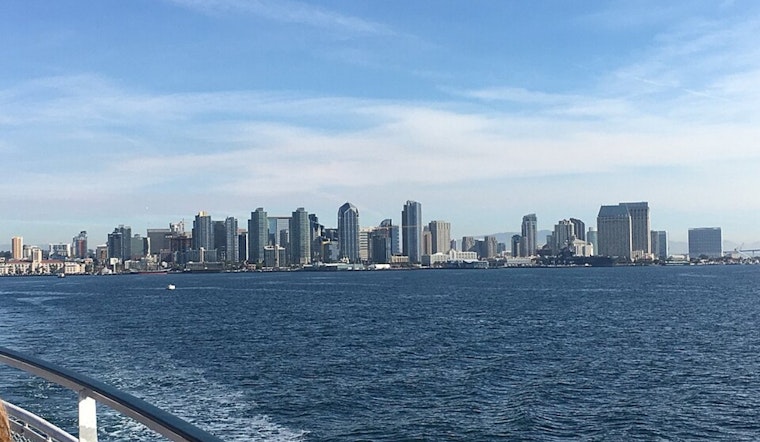
San Diego is waking up to mostly clear skies this Sunday, with temperatures in the low 50s at the airport and afternoon highs near 65 degrees. That break in the weather will be short-lived, though, as a winter storm moves in Monday, February 16, 2026, bringing moderate to heavy rain, gusty southerly winds and elevated surf. The strongest impacts are expected from Monday afternoon into Wednesday, so beachgoers and drivers will want to plan ahead.
Advisories And Hazards
The National Weather Service has issued several alerts for the region. A Wind Advisory will cover coastal and valley areas from 7 a.m. to 8 p.m. PST on Monday, February 16, with south winds of 15 to 25 mph and gusts of 30 to 40 mph, locally up to 45 mph. A High Surf Advisory runs from 10 a.m. Monday through 4 a.m. Thursday, calling for breaking waves up to 8 to 12 feet and a high rip current risk. Offshore, a Gale Warning is posted for coastal waters with seas around 8 to 12 feet. For full details, see NWS San Diego.
Afternoon Winds Pick Up
South winds will ramp up late Monday morning into the afternoon, which could make driving difficult for high-profile vehicles and send unsecured outdoor items tumbling. Stronger west to southwest gusts are expected in the mountains and along the desert slopes into Tuesday and Wednesday, where isolated damaging gusts remain possible.
Coast And Beaches
Surf will build from Monday afternoon through Wednesday, bringing powerful rip currents and dangerous shorebreak to many west-facing beaches. Lifeguards may temporarily close some swimming areas during the peak of the swell; see our sunny tease before Monday's big soak for background and prep tips. While the advisory is in effect, avoid standing on jetties, rocks or right at the water's edge, no matter how tempting the view looks.
Rain, Rivers And Mountain Travel
Most of the rain is expected on Monday, with peak hourly rates of about 0.40 to 0.70 inches. Forecast totals are near 0.75 to 1.40 inches for the coast and valleys and 1 to 3.5 inches in the mountains. Snow will fall in the higher terrain, starting around 6,500 feet and dropping to about 5,000 feet Monday night, then lower later in the week. That could make passes such as the Cajon and portions of I-8 slick or temporarily impassable at times.
How To Prepare
Residents should secure loose patio furniture and outdoor gear, move cars out of low-lying beach lots and build in extra time for the Monday commute. Anyone heading into the mountains should check road conditions and chain requirements in advance, and never attempt to drive through flooded roadways, no matter how shallow they may look.


