Cleveland wakes up cloudy and mild on Wednesday, February 18, with temperatures near 52°F to start the day. Rain moves in by late morning and is likely through the early afternoon, with highs topping out around 56°F. A cold front slides through late Wednesday and cranks up the winds, which could briefly complicate the afternoon commute.
What To Expect Wednesday
Rain is most likely between about 8 a.m. and 2 p.m., with most spots picking up roughly a tenth to a quarter inch of rain and a few isolated areas nearing a half-inch. As the front passes, winds will shift and strengthen, with gusts around 20 to 30 mph and a rumble of thunder possible in a heavier shower or two. According to the National Weather Service Cleveland, plan on wet roads for the morning drive and a breezy, unsettled afternoon.
Lake And River Concerns
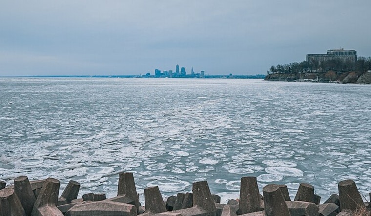
Warmer air and rain are already chewing away at ice on Lake Erie and can push ice floes offshore, which may strand people or temporarily close shipping channels. Rivers and streams could see minor rises where ice is breaking up, and localized ice jams remain a concern through the week. For current river stages before you head near any waterways, check the U.S. Geological Survey.
Looking Ahead
Another low-pressure system brings a fresh shot of rain Friday along with stronger gusts, followed by a push of colder air over the weekend. Forecasts suggest the pattern could flip to snow late Sunday into Sunday night, with some guidance hinting that 3 to 5 inches are possible in parts of the region. If you have outdoor plans Sunday, keep a backup ready and check back on the forecast, since conditions could change quickly.


.jpg)