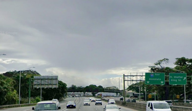
Honolulu woke up muggy and mostly cloudy this morning, with temperatures sitting near 73°F at Daniel K. Inouye International Airport. Strong south-southwest winds are steering bands of showers and thunderstorms across Oʻahu on Saturday, March 14, bringing brief but heavy downpours and gusty conditions that could snarl both the morning and afternoon commute. Highs will top out near 80°F, and any storm that lingers could trigger pockets of urban or low-lying flooding.
What To Expect Today
The National Weather Service in Honolulu is calling for repeated bands of heavy showers and thunderstorms through Saturday, March 14, with a high around 80°F and sustained southwest winds near 28 to 30 mph. Gusts could reach the mid 40s mph in town and run even stronger along exposed ridgelines. Some storms may unload 1 to 2 inches of rain in a short burst. Many neighborhoods can expect new rainfall totals between a quarter and a half inch, with higher amounts where thunderstorms line up over the same spots, according to NWS Honolulu.
Watches And Warnings
A Flood Watch and High Wind Warning remain in effect for Oʻahu, with the wind threat holding on into early Sunday, March 15. A High Surf Advisory is also posted for south-facing shores through 6 p.m. HST this evening, March 14. Together, these hazards mean a higher chance of downed branches, localized flooding on streets and underpasses, and dangerous rip currents along the south shore. Drivers should be ready for slower commutes, possible power interruptions and challenging conditions for high-profile vehicles.
Legal Implications
Governor Josh Green has issued an emergency proclamation that activates state resources and authorizes steps such as National Guard support and streamlined emergency procurement. The proclamation remains in effect into mid-March and gives counties and state agencies extra flexibility to respond quickly to flooding and wind damage, according to the Office of the Governor.
Local Tips And Resources
Residents are urged to secure patio furniture, pull in trash cans, tie down lightweight items and avoid driving through standing water. The rule of thumb is simple: turn around, do not drown. For a deeper look at the storm setup and what to expect this week, check out our earlier Hoodline report Soaking Week Ahead. Keep an ear on county Civil Defense and the National Weather Service for the latest on shelters, road closures and ferry plans before you travel or head for the shore.


