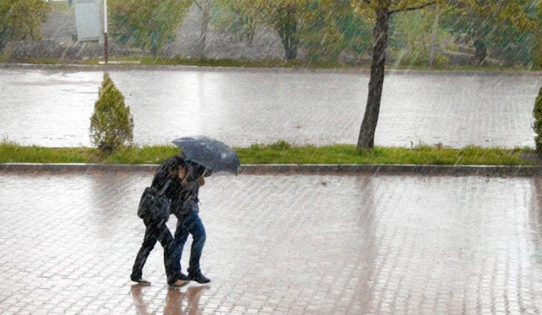
Honolulu eased into Sunday with mostly clear, muggy skies, lows in the low 70s, and a few spotty showers brushing parts of the island. East winds will be noticeable through the day and highs should top out near 82°F this afternoon. Showers today should be brief, but forecasters are already eyeing a much stronger, multi-day storm lining up for later this week.
Hydrologic Outlook And Heavy Rain Threat
Early Sunday, at about 4:08 AM HST, the National Weather Service issued a Hydrologic Outlook warning that a large low northwest of the islands will pull a very moist southward flow across Hawaii and likely bring periods of heavy rain and thunderstorms beginning Tuesday and continuing into the weekend, according to NWS Honolulu. Storm-total rainfall of roughly 4 to 12 inches from Tuesday through Saturday is currently forecast for parts of the state, with locally higher amounts possible from slow-moving thunderstorms. With soils expected to saturate quickly, even moderate additional rain could produce rapid runoff and localized flooding.
Afternoon Winds Pick Up
East-to-southeast winds today are forecast at 12–16 mph with gusts to the low 20s on windward slopes, then shift southerly and strengthen beginning Monday into Tuesday. Gusts could reach the mid-20s to upper-30s mph later in the week, raising the risk of downed branches and power outages where soils become saturated. Small Craft Advisories are in effect for many coastal waters through tonight and into Monday, so expect choppy seas and reduced visibility if you head out on the water.
What To Expect This Week
Scattered showers should ease Monday before the main moisture arrives Tuesday, first soaking the western islands and then spreading statewide in bands of heavy rain and thunderstorms. Flood watches are increasingly likely as forecast confidence grows. Hoodline has followed this setup in recent days and has earlier background on the developing pattern.
Prepare And Stay Safe
Clear drains and gutters, secure loose outdoor items, and avoid driving through flooded roads - turn around, don’t drown. Keep NOAA Weather Radio or local emergency channels handy, and be ready for cancellations or schedule changes for outdoor events, ferries, and small-boat plans if the heavy bands arrive as forecast.


