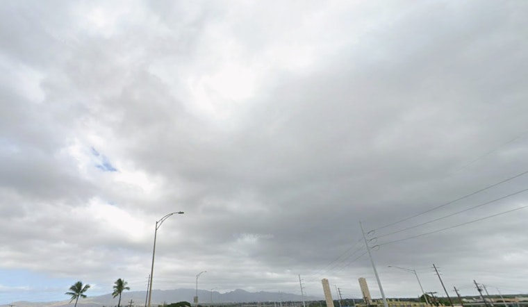
Honolulu is starting Saturday on the gray and sticky side, with mostly cloudy skies and 73°F at Daniel K. Inouye International Airport (PHNL) as of 4:53 a.m. HST on March 7, 2026. The air is muggy and a bit hazy, and east winds are already running around 15 to 18 mph. Scattered, quick-hitting showers are expected through the day, and inland highs should still manage to climb near 81°F.
Weekend Outlook
Haze and spotty showers will hang around Oʻahu through Sunday, so do not expect crystal-clear views just yet. Gusty east winds will make exposed ridgelines and channels feel especially blustery, with Saturday gusts potentially reaching about 29 mph. Overnight lows will stay in the low 70s. Most neighborhoods are unlikely to see much measurable rain, but windward and mauka slopes could catch some heavier, short-lived bursts.
Marine And Boating
A Small Craft Advisory remains posted through 6 p.m. HST Sunday for windward Oʻahu waters, the Kaiwi Channel and several other coastal zones. Boaters should be ready for choppy, gusty seas and make sure loose gear is secured, according to the National Weather Service Honolulu. East-facing shores will stay on the rough and choppy side, and currents may run stronger than usual, so take extra care at smaller beaches and harbor entrances.
Next Week
Looking ahead, forecasters are tracking a deep low developing northwest of the islands that is expected to swing winds around to the south by late Monday and tug tropical moisture northward. That shift will boost the chances for heavy rain, thunderstorms and flash flooding from Tuesday into Wednesday. We broke down the early thinking on this setup in a previous piece; check out our March 6 background on next week's potential soaker and wind blast for details on timing and initial impacts.
How To Prepare
Some of the storms early next week could bring heavy downpours and locally damaging gusts, and the hydrologic outlook flags a flash-flood threat that may kick off over the western islands Monday night before spreading statewide Tuesday into Wednesday. This weekend is a smart time to clear debris from storm drains, move vehicles and valuables out of low-lying spots, and keep an eye on official watches and warnings. Expect updated forecasts as the approaching system sharpens and confidence on exact impacts improves.


