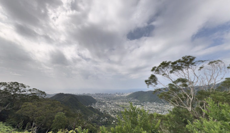
Cloudy and muggy over Honolulu Monday afternoon, with the temperature sitting near 73°F at Daniel K. Inouye International Airport and the gray skies showing no sign of rushing off. Expect mostly cloudy conditions with a few isolated late day showers possible and a high near 81°F. Winds in town are light from the west to southwest, but any heavier rain bands that pop up could briefly cut visibility on neighborhood streets. If you are heading out, grab a light rain layer and give yourself extra time for a potentially damp commute.
Forecast And Advisories
Remnant bands from the recent kona low are sliding north, which has eased the immediate flooding threat in some spots but left scattered showers hanging over Leeward Big Island and parts of Maui. The National Weather Service Honolulu reports that the Flash Flood Watch for Maui County and the Big Island has been canceled, and the Small Craft Advisory has been dropped as winds and seas fell below advisory levels. Forecasters have extended a High Wind Warning for Haleakala Summit and the Big Island summits through 6 PM HST, and say the Monday night chance of rain showers is about 60 percent, with typical totals of a tenth to a quarter of an inch in the heavier bands.
Earlier Watches And Local Context
Earlier in the week we covered Flood Watches and park closures while the kona low was flexing its full muscle, and although the system is now moving away, forecasters kept a close eye on any lingering heavier bands that could still flare up. For a look at how the situation developed, see our earlier reporting on the kona soaker that put Honolulu on flood watch.
Marine And Surf
Winds and seas dropped below advisory thresholds on Monday, but the ocean is not exactly going quiet. A new long-period south swell is expected late Monday night into Tuesday and should pump up surf along south facing shores through late this week. At the same time, a north northwest swell could nudge north and west shores toward advisory levels Tuesday night into Wednesday. Boat operators and swimmers should keep tabs on changing conditions as the surf builds, use extra caution around exposed beaches, and check marine forecasts before heading out on the water.
What Locals Should Know
Plan on a muggy week with scattered showers, occasional brief downpours, and shifting surf. Avoid driving through standing water and move vehicles off streets that you know tend to flood. If you have plans for Haleakala or Mauna Kea summit areas, be ready for strong gusts and possible access restrictions, and check park and county websites before you go. We will post updates if the National Weather Service or local officials roll out any new watches or warnings.


