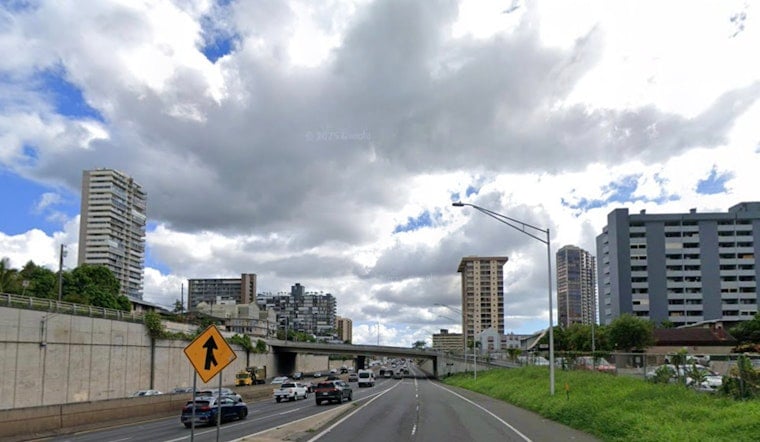
Honolulu woke up wet on Wednesday, March 11, with steady rain slicking streets and temperatures hanging in the low 70s near Daniel K. Inouye International Airport. A Flood Watch is in effect for all of Oʻahu through Saturday, March 14, as a strong kona low keeps streaming thick bands of tropical moisture over the islands. Brief but intense downpours and thunderstorms are on the table, which means sudden ponding on roads and quick drops in visibility when the rain really cuts loose.
What To Expect Today
Showers and thunderstorms are expected on and off through the day, with a high near 81°F and some hazy breaks between the rain bands. Forecasters at the NWS Honolulu say some storms could pack heavy rain, with an additional 2 to 3 inches possible in parts of Oʻahu and localized rain rates topping an inch per hour. South to southwest winds will stay brisk, generally in the teens with gusts pushing into the 20s and low 30s mph at times.
Flood Watch And Timing
The Flood Watch is set through Saturday afternoon, March 14, with flash flooding possible wherever stubborn rain bands park over low-lying spots and areas with urban drainage. Roads on the Ewa Plain and near the Waianae Coast could see rapid ponding and short-term closures during heavier bursts of rain, and saturated slopes may be vulnerable to mudslides on steep terrain. For a deeper look at how this kona system has been developing, check out how the kona soaker zeroes in on Honolulu.
Wind And Marine Outlook
Winds are expected to crank up later in the week as the pressure gradient tightens. By Friday, south winds could gust into the 40s mph in some areas, with a chance for localized damaging gusts late in the week. Small Craft Advisories are already posted for portions of the outer waters, and surf on south-facing shores will turn choppy and rough as the kona flow builds. If your plans involve a boat, a board, or a blanket on a low-lying beach, it is a good time to reconsider and keep an eye on updated marine advisories.
What Locals Should Do
Avoid driving through standing water: just a few inches can stall a car or push it off course. Move vehicles off streets that you know tend to flood. Put together a simple kit with basics you might need, keep phones charged, and follow local alerts along with the latest forecasts from NWS Honolulu for any Flash Flood Warnings or updates to watches and advisories. Build in extra travel time too, since heavy bursts of rain can slow traffic to a crawl and close key roadways with little warning.


