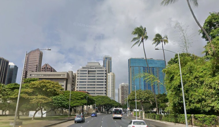
Honolulu is waking up to a pretty standard Monday, partly cloudy and about 72°F at Daniel K. Inouye International Airport, but the calm start is not the main story. A strengthening kona storm is gearing up to deliver several days of heavier rain, thunderstorms and southerly winds. Forecast guidance shows repeated bands of showers arriving Tuesday and becoming more organized by midweek, which raises the threat of localized flash flooding and downed branches. Residents and visitors should be ready for on-and-off travel disruptions and be prepared to change plans as conditions evolve.
Timing and watches
The National Weather Service Honolulu office has a Flood Watch in effect for Niihau and Kauai beginning Tuesday and for Oahu beginning Tuesday evening. The watch runs from Tuesday, March 10 at 6:00 p.m. HST through Saturday, March 14 at 6:00 p.m. HST, according to the National Weather Service Honolulu. A Special Weather Statement issued early Monday also warns that damaging kona winds and strong to severe thunderstorms are possible later in the week as the low deepens northwest of the islands.
Rain and wind outlook
Forecasters expect frequent showers and thunderstorms Tuesday night into Wednesday, with new rainfall amounts of 1 to 2 inches possible in some locations on Wednesday and bursts of 3/4 to 1 inch possible late Tuesday night. Winds will turn southerly and strengthen late in the week, with sustained speeds commonly in the teens to 20s and gusts reaching the mid 30s to low 40s mph at times. Mariners should note that a Small Craft Advisory remains in effect for several channels through this afternoon, and additional marine advisories are likely as the system develops.
Impacts and preparations
Low-lying and urban-drainage roads may flood quickly during heavy downpours, so do not attempt to drive through standing water and avoid hiking in steep or muddy terrain. Secure loose outdoor items, move vehicles off flood-prone streets if possible, and have a basic emergency kit and plan in case winds or flooding cause outages or isolation. Keep an eye on local updates and be prepared to change travel or outdoor plans if heavy rain or thunderstorms are forecast for your neighborhood.
We first wrote about the potential for a wet week in earlier coverage. For background on how this system builds and what to expect islandwide, see our earlier story on how this wet week is shaping up. We will update this page with new watches and advisories as they are issued.


