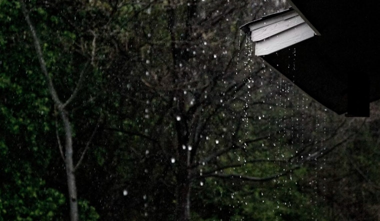
Seattle woke up on the chilly side early Tuesday, March 10, 2026, sitting around 37°F under a thick blanket of clouds. A band of showers is sliding through midmorning, with some wet snow mixing in for the coldest lowland spots, before flipping to a more persistent afternoon rain. As south-southwest winds ramp up, count on splashy commutes and periods of reduced visibility.
Tuesday’s Midmorning Mix and Blustery South Breeze
From about 8 a.m. to 11 a.m. Tuesday, there is a chance of rain and snow showers, especially where temperatures hang near freezing, followed by steady rain through the afternoon and a high near 44°F. Southerly winds will stay on the breezy side, generally 9–17 mph with gusts up to about 23 mph, making already wet roads feel a bit raw. Most of Tuesday’s rain should stay light, but showers are expected to pick up again tonight and carry over into Wednesday.
Wednesday’s Punch: Cascade Blizzard and Lowland Gusts
A much stronger front barges in Wednesday, delivering heavy mountain snow and a sharp shift in wind. A Blizzard Warning is posted for many Cascade locations from 6 p.m. Wednesday, March 11, through 5 a.m. Thursday, March 12, with 1–2 feet of snow possible through Wednesday and another 2–3 feet likely Thursday into Friday. Travel over the passes will likely become difficult to impossible. Down in the lowlands, a gusty push arrives Wednesday evening with heavier rain and pockets of 30–40 mph gusts in more exposed areas, according to National Weather Service Seattle.
Rising Rivers, Rough Seas and Marine Alerts
Hydrologists have an eye on the Skokomish River and parts of the Chehalis basin for rises later this week, with a Flood Watch in effect for portions of the area from Wednesday afternoon into Thursday. On the water, Small Craft Advisories and Gale Watches are up for parts of Puget Sound, Admiralty Inlet and the outer coast, with seas building toward 10–15 feet Wednesday night. That kind of chop could slow ferries and make exposed coastal drives more than a little uncomfortable. For background on the earlier forecast and travel impacts, see our March 8 update earlier soggy commute forecast.
How Seattleites Can Get Ready
If you are planning a trip over the passes this week, bring traction devices and check WSDOT for the latest mountain pass information, since chain requirements and possible closures are likely. Around town, drivers should budget extra time for commutes, steer clear of standing water in low-lying spots and be prepared for possible ferry delays during the strongest winds. Keep tabs on the National Weather Service along with local road and transit updates for real-time changes as this active pattern unfolds.


