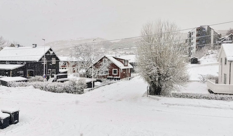
It started out calm at Ronald Reagan National Airport early Monday, March 2, 2026, with mostly clear skies and temperatures around 32°F. That quiet will not last long. Forecasters expect snow to move in after about 9 a.m., and a narrow band of heavier snow could briefly flip the switch from "no big deal" to "watch your step." Most neighborhoods should only pick up a light dusting on grass and elevated surfaces, but bridges and untreated side streets could turn slick. If you are out midday or have evening plans, build in extra travel time and be ready for pockets of slush or ice.
According to the National Weather Service Baltimore/Washington, highs will top out near 36°F with snow likely after 9 a.m. and about a 60% chance of precipitation. New snow accumulation of less than one inch is expected across most of the city. Forecasters say the highest snow rates will be fairly localized, possibly lining up somewhere on or near the I-66 corridor, which means short, heavier bursts could briefly drop visibility and make roads slick. The National Weather Service notes that advisories are focused on nearby Maryland and Virginia counties, while the District itself has no winter weather advisory in effect this morning.
Tonight Into Tuesday: Wintry Mix And Freezing Rain
Another system moves in overnight, bringing a mix of snow, sleet and freezing rain into Tuesday morning that could tangle the early commute. As the National Weather Service puts it, "the primary impact will be from freezing rain," although most low-lying areas are expected to see little or no ice accumulation. Higher elevations and ridgelines have the best shot at a light glaze of ice, so drivers there should expect slower, more hazardous travel before temperatures climb on Tuesday.
Commute Notes
The District may not have an active winter weather advisory, but neighboring counties in Maryland and Virginia are under Winter Weather Advisories for late Monday into Tuesday morning. That setup could slow travel on ramps, bridges and untreated side streets that cross in and out of the city. Riders should also plan for slower bus and Metro service overnight and into the morning rush, check service alerts and give themselves some wiggle room. For background and planning tips, see our earlier look at the chilly D.C. wake-up.
Midweek Warmup
Things turn around quickly later this week. Temperatures are expected to climb into the 60s on Wednesday and could reach the 70s on Thursday and Friday, shifting any lingering precipitation to plain rain. The National Weather Service says the warming trend should lower the chance of additional ice but keep scattered rain chances in the forecast. Keep an eye on updated forecasts if you have outdoor plans later in the week.


