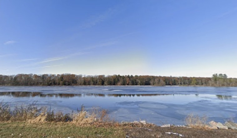
As March’s deep snows start to let go across Wisconsin, the spring flood picture is a bit of a split screen. Most of the southern half of the state is sitting on a calmer-than-usual outlook, while pockets of northern and central Wisconsin are already dealing with rising rivers and spotty flooding. The Black and Yellow rivers are in minor flood stage, and officials warn things could escalate fast if a soaking rain rolls in while the snow is still melting. For a lot of river communities, the next two weeks will decide whether runoff stays a local headache or grows into wider river flooding.
What the official outlook says
According to the National Weather Service, the overall risk of spring flooding sits near to below average across most of southern Wisconsin and below average along the lower Wisconsin River. Forecasters point to a below-average snowpack, near-normal soil moisture and mostly thawed ground as the key reasons the flood threat is dialed down right now. With frost depth in southern Wisconsin dropping from more than a foot a month ago to essentially zero, soils can actually drink in a decent share of the meltwater instead of sending it straight into rivers.
Rivers to watch
As reported by the Milwaukee Journal Sentinel, probabilistic forecasts put the Tyler Forks River near Mellen at roughly a 58% chance of moderate flooding. The Wisconsin River at Portage sits at about a 55% chance of minor flooding, and the Fox River at New Muenster carries around a 51% chance of minor flooding. The Journal Sentinel also notes active minor flood warnings along stretches of the Black and Yellow rivers in Trempealeau, La Crosse and Juneau counties. “A nice heavy rain, especially in the northern half of the state, could cause more flooding up there,” Kevin Wagner told the Milwaukee Journal Sentinel.
Short-term weather could flip the outlook
NOAA’s Climate Prediction Center is calling for warmer-than-average temperatures and slightly higher-than-normal odds of precipitation across much of Wisconsin over the next two weeks. That pattern sets the stage for classic rain-on-snow trouble if heavier bands track over the state. Rapid melting on top of fresh rainfall is the combination most likely to push rivers higher and trigger additional flood advisories or warnings in the days ahead.
How residents can stay ready
Residents along rivers and in low-lying spots are being urged to stay plugged into changing conditions. Live river forecasts and probabilistic exceedance maps are available on NOAA’s water prediction site, with the U.S. Geological Survey’s real-time streamflow dashboard providing another way to track levels and crests. If you live near a river, officials say to respect local flood warnings and road closures, follow the “Turn Around, Don’t Drown” guidance at flooded crossings, and consider flood insurance and basic preparations if your home or business sits in a flood-prone area.


