Knoxville is in for a noisy start to the week, with two rounds of showers and thunderstorms on tap. The first batch is expected overnight Monday into Tuesday, followed by a second punch Tuesday night into early Wednesday. Forecasters say the main issue will be strong, potentially damaging wind gusts, and while the overall tornado risk is low, an isolated spin-up cannot be completely ruled out. Temperatures will run warmer than normal ahead of the first wave, then turn cooler with scattered, light showers lingering later in the week.
Timing and localized threats
Meteorologist Belle Oliver says storms could begin firing as early as 2 a.m. on the Cumberland Plateau, with a Level 1 (marginal) severe risk in place there to start. After a brief break in the action, another round is expected Tuesday night into Wednesday morning. Areas west of I-75 sit under a Level 2 (slight) risk, while much of the rest of the region stays at marginal risk. Damaging winds are expected to be the primary concern, though a brief tornado cannot be ruled out, according to WVLT.
Regional outlook from the SPC
The Storm Prediction Center's Day 2 convective outlook highlights an enhanced risk across parts of the Middle Mississippi Valley and into northwestern Tennessee, signaling that widespread damaging winds and a few tornadoes are a concern for the broader region. SPC meteorologists flag the potential for organized storms and developing line segments, a setup that could ramp up the damaging wind threat, per the Storm Prediction Center.
Local forecast details
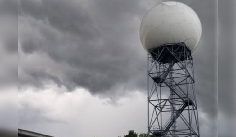
The National Weather Service in Morristown's point-and-click forecast for Knoxville calls for Monday afternoon highs in the upper 70s to low 80s, with southwest winds around 10 to 20 mph and gusts near 20 mph ahead of the approaching system. The NWS expects showers and thunderstorms to become likely late Monday night and continue into Wednesday, with overnight lows in the mid 50s and cooler, spottier rain behind the main line of storms, according to the National Weather Service.
How to prepare
Officials recommend having multiple ways to get severe weather alerts, including NOAA Weather Radio, wireless emergency alerts on cell phones, and local TV or radio coverage, and also suggest securing loose outdoor items ahead of gusty winds. Federal preparedness guidance further urges residents to identify their safest room, pull together an emergency kit, and never drive through flooded roadways, with additional tips from FEMA.
This story will be updated if watches or warnings are issued. For the latest details on timing and potential impacts, follow local meteorologists at WVLT and check the National Weather Service, and keep weather radios and phone alerts turned on overnight.


