Washington, D.C., started Friday, April 24, 2026, on a deceptively calm note, with mostly clear skies and early readings in the low 60s at Reagan National Airport. By this afternoon, temperatures are expected to climb to around 82°F, just in time for a round of scattered showers and thunderstorms to muscle in.
Afternoon Storm Window
A few isolated showers could sneak in as early as 1 to 2 p.m. EDT Friday, April 24. The main action is expected between about 2 and 7 p.m. EDT, when scattered showers and thunderstorms become more likely. Most spots around the metro should stay on the drier side, but any stronger storm cells could dump brief heavy rain and kick up gusty winds.
Rainfall totals are projected to stay light overall, generally around one tenth to one quarter of an inch. Localized downpours, however, may run higher where storms really get going.
Weekend Outlook And Boating
A stalled frontal boundary hangs around through Saturday, April 25, turning the day much cooler and cloudier with rain showers likely and a high near 64°F. East winds are expected around 6 to 12 mph with gusts up to about 21 mph. Saturday night, April 25–26, looks to be the wettest stretch, with lows near 47°F as showers continue.
Out on the water, boaters should be ready for choppy conditions. Small Craft Advisories will likely be issued for many local marine zones as winds increase. According to the National Weather Service, scattered showers and storms may linger into Sunday, April 26, before drier weather returns by Monday, April 27.
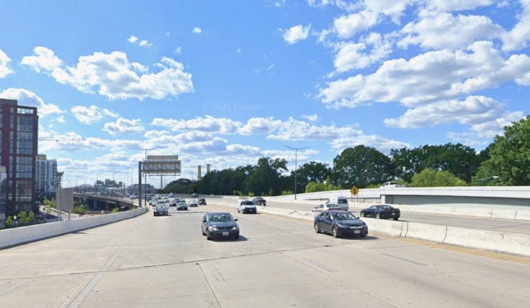
Commute And Safety
Where storms do roll through, expect some headaches during the afternoon rush. Sudden heavy rain can quickly cut visibility and slow surface traffic, and gusty winds can make bridges and other exposed roadways feel a bit dicey.
If you have outdoor plans this afternoon or on Saturday, April 25, have a waterproof backup ready, keep an eye on radar, and be prepared to head indoors if any warnings are issued.


