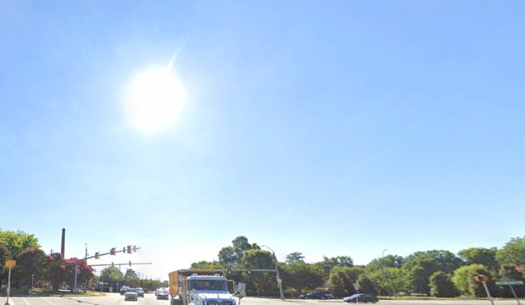
This morning in Raleigh (Thursday, April 30, 2026) starts mostly clear and cool, holding near 57°F at local observation. A slight chance of rain, mainly between 11 a.m. and 1 p.m., could sneak through late morning before skies clear again this afternoon, with highs climbing into the mid-70s.
Afternoon Clearing and Commute Notes
Look for a drying trend from west to east after midday, with northwest winds around 6 to 9 mph and only about a 20% chance of showers over the lunch hour. Patchy fog or reduced visibility may linger in low-lying spots early, so drivers should allow a little extra time on the morning commute. According to the National Weather Service Raleigh, a coastal system is lining up to deliver more widespread precipitation this weekend.
Saturday Rain and What to Expect
Rain is expected to begin late Friday night and continue through most of Saturday as an offshore low tracks up the Carolina coast. Ensemble guidance points to roughly a quarter to three quarters of an inch of rain across central North Carolina, with locally higher totals possible. Temperatures on Saturday may stay stuck in the 50s, setting up a noticeably cooler, damp stretch compared with today. Plan on wet streets, slower travel, and minor ponding in low spots.
Events and Travel to Watch
Durham will host the Garmin Marathon on Saturday, May 2, and runners and spectators should keep an eye on the forecast, since the course could turn wet and muddy. The event, listed on the Durham Sports Commission calendar, will route through downtown near the American Tobacco Campus, where traffic may see detours or delays. For event details, see the Durham Sports Commission.
Looking Ahead
Sunday should trend cooler and drier, with highs in the upper 60s, followed by a warm-up from Monday through midweek as highs return to the 70s and then push into the 80s by Tuesday and Wednesday. There are no watches or warnings in effect this morning, but it is a good idea to check official forecasts before locking in weekend plans.


