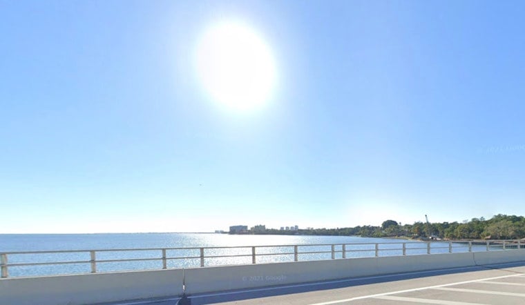
Tuesday, April 28, 2026: Miami woke to clear, muggy skies and temperatures in the mid-70s, the kind of sticky start that hints the heat is only getting warmed up. Expect mostly sunny conditions today with a high near 82°F and a light northeast breeze around 8–12 mph.
High Rip Current Risk For Palm Beaches
The National Weather Service has posted a high rip current risk for the Palm Beaches from 8 a.m. Tuesday through Thursday evening, while the rest of the Atlantic coast beaches will see a moderate risk. That means stronger, choppier surf and life‑threatening rip currents in places, with Atlantic seas around 3–6 feet this morning, easing to 2–4 feet by Wednesday. Lifeguards are urging visitors to stick to guarded beaches and obey posted flags, according to National Weather Service Miami.
Afternoon Winds And Heat
Onshore northeast winds of about 8–12 mph this afternoon will keep humidity high along the coast, while inland neighborhoods could climb into the upper 80s to around 90°F. Rain chances stay very low through the first half of the weekend, though forecast models show a greater chance of showers and thunderstorms returning late Sunday into early next week.
What To Do At The Beach
Stick to lifeguarded stretches and follow the posted flags. When the rip current risk is high, even strong swimmers can get yanked offshore in a hurry. If you are caught in a rip current, do not try to fight it head-on. Swim parallel to shore until you escape the current, then angle back toward the beach and wave for help. For background on the evolving pattern, see our earlier post on the sticky sunrise, sneaky storms.
Bottom line: enjoy the sunshine but respect the surf, check the flags before you head in and keep a sharp eye on kids and less experienced swimmers.


