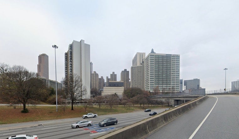
Atlanta is rolling into Wednesday, April 29, 2026, on the soggy side, with steady rain, pockets of fog and temperatures hovering near 64°F at Hartsfield‑Jackson (KATL). Visibility is running about 2.5 miles in the heavier bands, roads are fully wet across the metro, and the morning drive is set to crawl until showers ease toward mid‑morning.
Morning Showers And Reduced Visibility
If you are out early, the umbrella is not optional. Showers and some embedded thunderstorms are most likely before 10 a.m. Wednesday, April 29, 2026, and the National Weather Service Peachtree City keeps morning precipitation odds in the 80 to 90 percent range. Where bands linger, localized rainfall totals of roughly a quarter to a half‑inch are on the table.
Brief heavy downpours and mist could knock visibility down to MVFR levels in spots. Drivers should expect slower traffic, leave extra following distance, watch for water on ramps and in low‑lying stretches, and use headlights in the fog even after sunrise.
Afternoon: Breezy With Spotty Storms
By mid‑day, many neighborhoods should dry out or only deal with hit‑or‑miss showers, and highs will climb toward 77°F Wednesday, April 29, 2026. Southwest winds will kick up to about 5 to 15 mph with gusts that can reach 25 mph, so it will feel noticeably breezier once the rain backs off.
There is still a slight chance for isolated storms between 2 p.m. and 5 p.m. Wednesday, April 29, 2026, especially north of the core Atlanta metro, so do not be shocked if a stray cell pops up on the drive home.
Late Wednesday Night Into Thursday
Another round is waiting in the wings. A mid‑level disturbance is expected to push a new line of showers and thunderstorms into the region late Wednesday night into early Thursday, April 30, 2026. Forecasters note that the strongest cells in this line could produce isolated damaging wind gusts.
The National Weather Service Peachtree City has outlined a marginal severe risk across portions roughly between the Atlanta metro and Columbus. After dark, keep an eye out for any watches or warnings and plan on gusty northwest winds once that line moves through.
Friday Into Saturday: Heavier Rain Threat
Looking ahead to Friday night, May 1, 2026, into Saturday, May 2, 2026, forecast guidance points to a wetter and cooler stretch. Many spots are likely to pick up 1 to 2 inches of rain with isolated higher totals where bands repeatedly set up.
That kind of steady rain can quickly lead to localized ponding and brief urban flooding, especially in areas with poor drainage. If you have outdoor weekend plans, it is worth sketching out an indoor backup and checking updated forecasts by Friday afternoon.
How To Prepare
For Wednesday, drive cautiously in low visibility, use headlights in fog, and secure or bring in lightweight outdoor items ahead of the gusty afternoon winds. If you are flying or using transit through Hartsfield‑Jackson, check your flight or route status, and make sure you have a reliable way to receive severe‑weather alerts in case storms strengthen overnight.
Avoid driving through standing water, since even six inches can stall a car and leave you stuck in a hurry.
For background on the multi‑wave pattern and Tuesday’s setup, see the stormy one‑two punch from earlier this week. This story will be updated if warnings are issued or if the timing of any rounds of rain and thunderstorms changes through the day.


