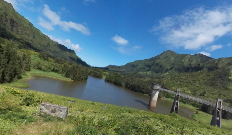
Nuuanu Reservoir No. 1 and its century-old earthen dam rode out the recent storms in stable shape, according to city and utility officials. Crews are still on site, siphoning and pumping water to lower the pool and keep levels safely below any evacuation triggers. Emergency managers say an evacuation would only be ordered if the reservoir climbed close to the dam crest. For now, people living downstream are urged to make sure they can receive official alerts and to keep a simple, quick evacuation plan ready.
What the emergency plan says
The Board of Water Supply’s emergency action plan spells out the dam’s key elevations, including a top of dam at about 399.5 feet, a spillway crest at roughly 396 feet and a normal operating level near 381.5 feet, and it explains the staged alert levels operators would use as water approaches the crest, according to the Board of Water Supply emergency action plan. The document also lists contact chains, evacuation maps and the specific steps BWS and partner agencies would take if levels began to climb toward those thresholds.
What the gauges recorded during the storms
Real-time reservoir gauges showed the pool peaking at about 391.48 feet on March 23 before dropping back to roughly 381.5 feet by April 8, and reporting has noted that roughly 10,000 people live in the mapped inundation zone below the dam, according to the Honolulu Star-Advertiser. Those readings kept the waterline below the spillway and well short of the dam crest, officials say, although the utility treated the situation cautiously while the storms were still rolling through.
How water is managed and when evacuations would start
Because Nuuanu Reservoir No. 1 has no outlet works other than an emergency spillway, the utility relies on siphons and pumps to carve out storage space ahead of heavy runoff, the utility's fact sheet explains, and the same fact sheet notes that a mandatory evacuation would be issued when water reaches one foot below the top of the dam. BWS says it coordinates that evacuation planning with the city Department of Emergency Management and local first responders as part of the process, per the Board of Water Supply fact sheet.
How you will be warned
The Honolulu Department of Emergency Management says evacuation notices would go out over radio and TV, be pushed to mobile devices and social channels, and be sent through the HNL Alert system, with sign-up details available on the city DEM web pages. The utility has also told reporters that it generally does not publicize routine pumping operations in order to avoid unnecessary alarm, and that crews have been lowering the reservoir during storm windows, as reported by local coverage.
What residents below the dam should do
If you live in lower Nuuanu or nearby neighborhoods, check whether your address falls within a dam inundation area by using the state dam viewer and related maps, keep a 24–48 hour emergency kit packed and handy, and make a plan for quick horizontal or vertical evacuation if officials give the order. Live monitoring data and technical background are available from the state Dam Safety Program and the USGS page for Nuuanu Reservoir No. 1, which are useful for tracking current levels and any official advisories: the DLNR Dam Safety Program and the USGS monitoring page.
For now, BWS and city officials say the reservoir is under round-the-clock watch and that any change requiring action will be pushed through official channels. Residents downstream should stay tuned to HNL Alert and local government pages for the fastest and most accurate direction.


