

























































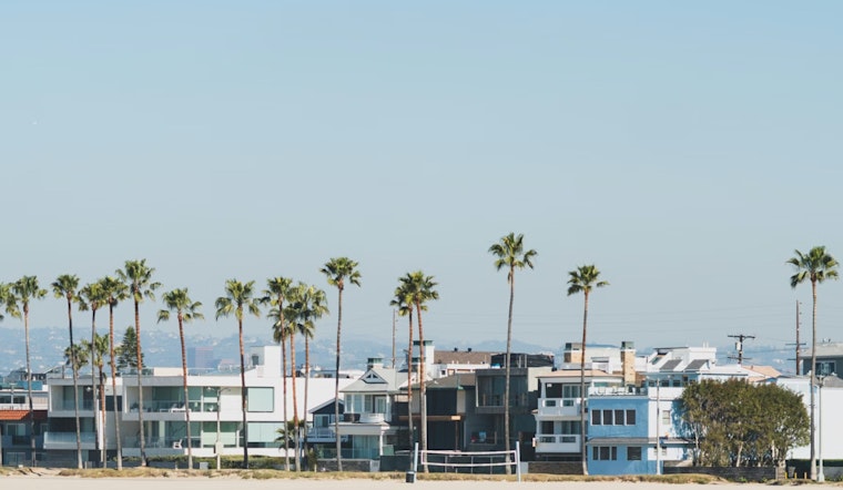
Downtown Los Angeles wakes up under mostly clear skies and about 60°F on Wednesday, May 20, 2026, with the sun set to push temperatures into the low 80s later today. It will be one of the warmest outings of the week before a cooler coastal pattern starts to muscle in.
Afternoon Heat And Where To Expect It
Central L.A. is expected to climb to around 81°F this afternoon, with inland valleys pushing into the upper 80s and flirting with 90°F. Beaches and the immediate coast stay in their own lane, topping out in the upper 60s to mid‑70s. Tonight, most neighborhoods will dip back to around 59–60°F. Those timing and temperature details are courtesy of the National Weather Service, Los Angeles/Oxnard.
Evenings And The Return Of May Gray
Starting Thursday, onshore flow is expected to strengthen and drag low clouds and cooler mornings back to the coast through the weekend. Expect gray starts with partial inland clearing, a textbook May Gray setup; see marine gloom gives way to patio‑perfect 80s for background.
Winds, Boaters, and Commutes
Winds stay light this morning before building into a modest afternoon sea breeze, generally 0–10 mph with gusts near 10–15 mph in a few usual corridors. The National Weather Service notes there are no widespread advisories in place, but localized Sundowner winds of 25–40 mph are possible across parts of southwest Santa Barbara County tonight and again Thursday night, so mariners should keep an eye on conditions in the channels and outer waters.
If you are headed inland this afternoon, plan on sunscreen and plenty of water. For coastal early birds, a light jacket will help with the cool, gray mornings. And if boating or staying out late is on your agenda, check the latest forecasts before you go.





