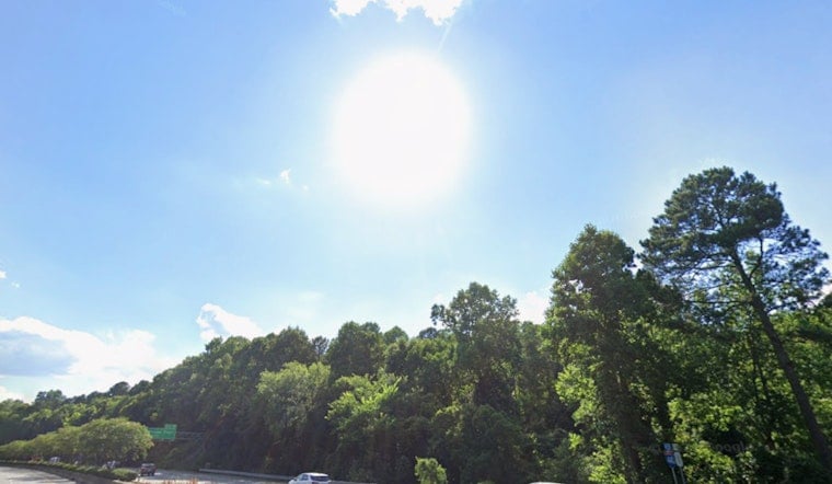
Raleigh wakes up to clear skies and calm vibes this Monday morning, but it will not stay quiet for long. A quick warm-up is on the way, with highs near 80°F today, Monday, May 4, 2026. Southwest winds will crank up through the afternoon, with gusts at times in the low to mid 20s. The combo of warmth, breezy mixing and dry fuels adds up to a modest fire concern across parts of the Piedmont through Wednesday.
Afternoon Winds And Midweek Storms
Southwest breezes are expected to strengthen this afternoon and tonight, helping push highs near 80°F and bringing gusts around 15 to 25 mph today and 20 to 30 mph Tuesday, May 5, 2026. A cold front sliding in Wednesday, May 6, into Thursday, May 7, will boost the odds for showers and thunderstorms, especially Thursday afternoon and evening, when gusts ahead of storms could reach 35 mph. These timing and wind details come from the National Weather Service, which is also flagging a brief elevated fire-weather concern with the dry, gusty flow.
Burn Ban Update And Legal Notes
The N.C. Forest Service has lifted the statewide open-burning ban for 81 counties effective 8 a.m. Sunday, May 3, 2026, but the ban remains in effect in 19 counties, including Forsyth, Guilford and Mecklenburg. Residents in counties where the ban was lifted must still secure a valid burn permit before any open burning, while those in counties still under the ban are asked to refrain from open burns altogether. Violations can carry fines and potential liability, according to the N.C. Forest Service.
What This Means Locally
For Raleigh-area plans today, it is a good idea to secure loose patio furniture, tents and décor, and to avoid any open burning while gusts are up. If you have outdoor events lined up later this week, keep an eye on Monday and Tuesday gusts and be ready for scattered showers or a stronger band of storms from Wednesday night into Thursday. For more background and local context, check out our earlier look at the soggy Saturday forecast.


