

























































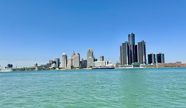
Detroit started today, on a refreshingly cool note, with clear skies, temperatures in the low 60s, and plenty of sun in the forecast. Afternoon highs are expected to reach near 760F, with a light north-northeast breeze keeping things comfortable for errands, dog walks, and that long-delayed outdoor lunch.
Weekend Outlook
Saturday, June 27, stays sunny and nudges a bit warmer, with a high near 790F and light northeast winds. The overnight low dips to around 600F, so it should still feel pleasant by late evening.
Sunday, June 28, looks to be the warmest day of the weekend, climbing to about 830F with minimal rain chances. Overall, the weekend setup is dry, bright, and friendly to just about any outdoor plan you can cook up.
Heat Risk Next Week
After the mellow weekend, the pattern swings hard in the other direction starting Monday, June 29, with a rapid warm-up that peaks around midweek.
- Monday: Highs near 910F.
- Tuesday, June 30: Mid-to-upper 90s, around 970F.
- Wednesday, July 1: Still hotter, near 990F.
- Thursday, July 2: Temperatures remain very hot.
According to the National Weather Service, heat indices could top 1000F as hot, humid air settles over the region. Scattered storms are also possible, so it is worth checking updated forecasts before you lock in any big outdoor plans.
Cooling Centers And Safety
If you do not have reliable air conditioning, the City of Detroit maintains a list of cooling centers and public locations with AC that can offer a break from the heat when temperatures spike.





