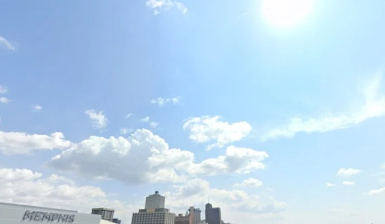
Memphis is rolling into a sticky, sun-bright Wednesday, June 10, 2026, with clear skies and temperatures already in the mid 70s at Memphis International Airport. The heat will climb fast, with a high near 94°F this afternoon and heat index values that could push up to 106°F. Overnight lows will only dip into the mid 70s, so do not count on much relief after dark.
Afternoon Heat And Humidity
The National Weather Service Memphis is calling for highs near 94°F on Wednesday and closer to 96°F on Thursday, June 11, 2026. South-southwest winds around 5 to 10 mph will pick up a bit on Thursday, adding a little breeze but not much comfort. Heat index readings between 100°F and 106°F are possible during the peak afternoon hours, so it is smart to take breaks from direct sun, stay in the shade when you can, and keep the water bottle close.
Storm Chances Return Friday
A weak front will slide into the region on Friday, June 12, 2026, bringing a round of showers and thunderstorms and kicking off a stretch of daily storm chances into the weekend. Friday carries roughly a 50% chance of storms, with localized downpours possible and total rainfall through Sunday approaching 1.5 inches in some spots, enough to wash out a cookout or two. Expect partly sunny, humid afternoons with scattered storms on Saturday and Sunday, so any outdoor plans should come with a backup option.
What To Know For The Week
Avoid strenuous outdoor activity in the late morning and midafternoon on Wednesday and Thursday, and look for air-conditioned spaces during the hottest part of the day. If you do not have reliable cooling at home, the city has opened community cooling options during past heat events; Hoodline covered yesterday's heat story in Memphis swelters. Check the National Weather Service and local utility pages for any power outage alerts or updates on cooling center hours before you head out.


