

























































Honolulu wakes up partly cloudy and warm this Sunday, July 12, 2026, starting the day near 77°F and climbing toward a high around 85°F. A few scattered windward showers could sneak in before noon, but most neighborhoods should still land plenty of afternoon sunshine under steady east northeast trade winds.
Afternoon Winds Pick Up Steam
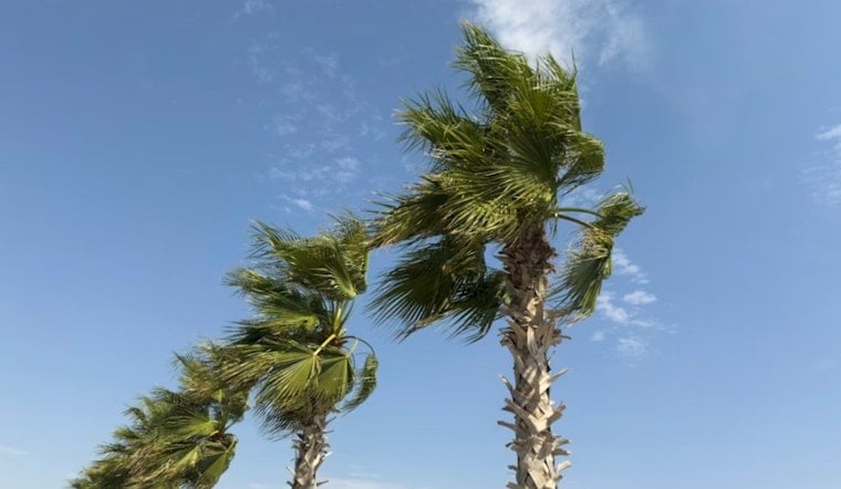
Those east northeast trades will be firmly in the breezy camp today, running about 17 to 22 mph with gusts pushing 30 to 31 mph. Ridges and shoreline spots will feel the gusts the most. Small boats should think twice before heading out. According to NWS Honolulu, a Small Craft Advisory is posted for all Hawaiian waters through 6 PM HST Monday, July 13, 2026. Expect choppy surf along east facing shores and brief wind driven showers that can knock visibility down in a hurry.
King Tides Could Push Water Inland
On top of the wind and chop, a King Tides cycle will start nudging water levels higher on Monday, July 13, 2026. That extra bump could bring minor coastal flooding to low lying spots during the afternoon high tides. Forecasters have circled Monday and Tuesday afternoons (July 13 to 14) as the prime window for minor flooding, so shoreline residents and businesses will want to keep an eye on the waterline. For specific tide times and station data, check NOAA Tides.
Looking Ahead
Through midweek, look for scattered morning showers favoring windward and mauka zones, with daytime highs holding in the mid 80s and overnight lows in the mid 70s. Trade winds are expected to ease a bit late in the week, and a slight increase in moisture is possible near the Big Island toward the end of the week, so it is worth checking in on updates if you are heading that way. For the full forecast and any changes to advisories, see NWS Honolulu.





