

























































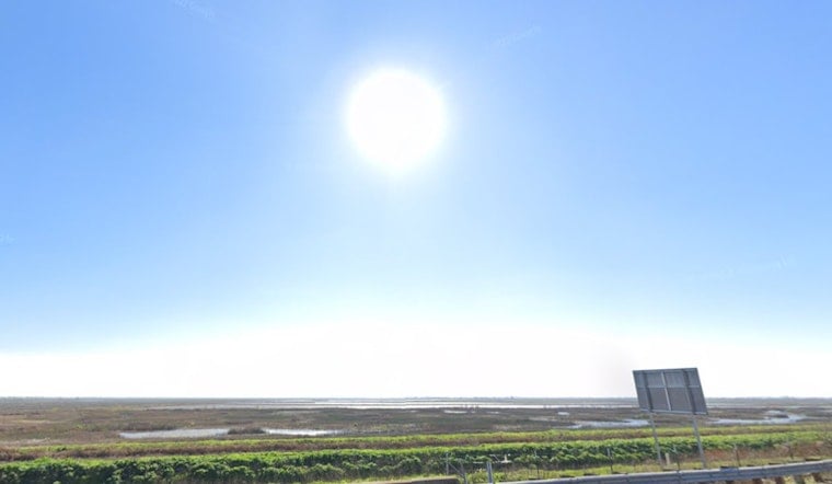
Sacramento started Monday, July 6, with clear skies and a chill in the air, with lows in the upper 50s near Sacramento Executive Airport. That cool start will not last long. Bright sun is expected to boost most neighborhoods into the upper 80s by late afternoon. The day stays dry and mostly sunny, and light south-southwest breezes should keep evening plans fairly comfortable as long as you take basic heat precautions.
Afternoon Winds
South-southwest winds are forecast to run mostly 3 to 9 mph this afternoon and then pick up to about 5 to 10 mph overnight, with gusts up to 18 mph in parts of the Valley and Delta. The strongest gusts will be felt along breezy bridges and riverfront spots. At this point, there are no watches or warnings in effect for the Sacramento metro.
Midweek Heat Risk
Temperatures are on a steady climb through the week. Highs are expected to reach the upper 80s on Tuesday, July 7, around 91°F on Wednesday, July 8, and the mid 90s by Thursday, July 9. The National Weather Service is highlighting areas of Moderate HeatRisk across parts of the Central Valley from Thursday through Saturday (July 9 to 11), which points to hot afternoons and warmer nights. Outdoor work and workouts will be more comfortable if you can schedule them for the early morning or later evening hours. For the full local forecast and timing, see the National Weather Service.
Where To Cool Off
If you do not have reliable air conditioning, Sacramento County and partner agencies open temporary cooling centers during significant heat events. You can call 2-1-1 or check the 211 Sacramento map for current locations and hours. Transit riders should also keep an eye on SacRT for any free-ride policies to cooling centers during activations and try to plan trips outside the peak heat hours when possible.





