

























































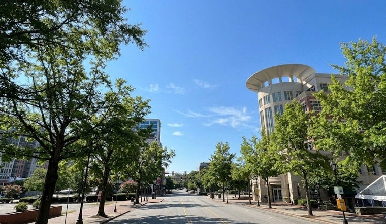
Greenville is getting a brief break from the summer storm cycle Thursday, with clear skies early and temperatures around 72 degrees before the day heats up. Sunshine will push the high near 89, and the forecast calls for a completely dry day across the area, as reported by AccuWeather.
A light north wind around 5 mph should add a little movement to the afternoon air, while humidity stays relatively low compared with the muggy pattern expected later. The National Weather Service expects mostly clear skies Thursday night, with temperatures falling to about 68.
Friday Stays Mostly Sunny
Friday will remain mostly sunny and warmer, with a high near 92 and a light east breeze. Rain chances stay near zero through Friday night, when the low should settle around 71 under partly cloudy skies.
Storm Chances Build Saturday And Sunday
The quiet stretch starts to fade Saturday, when isolated to scattered showers and thunderstorms are possible in the afternoon. Highs are expected to be similar to Friday, with a 40% chance of rain during the day and an 80% chance of showers and thunderstorms Saturday night.
Sunday looks like the wettest day of the forecast, as noted by National Weather Service (Greenville-Spartanburg) Area Forecast Discussion, with rain possible early Sunday followed by showers and thunderstorms through the day. The chance of precipitation rises to 90%, while clouds and rain hold the high near 83; storms remain likely Sunday night as well. According to NOAA's National Centers for Environmental Information (NCEI), the Storm Events Database contains records on various types of severe weather collected by the National Weather Service that can be consulted for past reports in Greenville County. NOAA's National Centers for Environmental Information (NCEI) records include 'Flash Flood, GREENVILLE CO. SC 07/27/1972 13:15 CST' as a past event.
Unsettled Weather Lingers Into Next Week
Showers and thunderstorms are likely Monday and Tuesday, with rain chances near 60% and highs in the low to mid-80s. Wednesday brings a partial improvement, but a 40% chance of afternoon showers and thunderstorms remains, so outdoor plans may still need a backup through the middle of next week. NOAA's NCEI provides a 'Climate at a Glance City Time Series' dataset for places like Greenville that can be used to examine trends in heavy precipitation and extreme rainfall days. According to the South Carolina State Climatology Office (as cited in NOAA NCEI monthly reports), 'this is the third greatest precipitation total from a tropical cyclone in the state since 1956'.





