

























































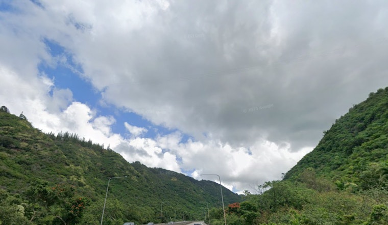
Honolulu is getting brushed by light showers this afternoon while temperatures hang in the mid 70s (around 76°F) and trade winds start to flex. Highs are set to climb into the mid 80s later today, but most of the wet weather will cling to windward and mountain slopes, sparing most leeward neighborhoods from anything more than a passing sprinkle. Small boats should be ready for choppy conditions through Tuesday afternoon, July 7, and hikers on exposed ridgelines can expect it to feel plenty gusty. Brief, localized downpours could tag the morning commute, so plan on slick spots in the heavier bursts.
Afternoon Winds Pick Up
East-northeast trades are forecast to blow around 15 to 22 mph with gusts pushing toward 30 mph through midweek, turning shoreline zones and open roadways blustery. Gusts will be strongest over mauka ridges and along windward routes, where spray and wind-driven debris may briefly cut visibility. It is a good time to tie down loose outdoor gear and give bluff edges some extra space when the wind ramps up. According to the National Weather Service Honolulu, this trade pattern is expected to hold into the weekend.
Showers Mostly Windward
Scattered trade-showers will favor the late night and early morning hours, with roughly a 30% to 40% chance of quick-hitting rain for windward neighborhoods and mountain areas. Most spots will only pick up light amounts, typically under a tenth of an inch, though localized heavier pockets can still flare up over mauka slopes. If you are on the Ko'olau side, keeping a compact umbrella handy for those in-and-out bursts is not a bad idea.
Marine And Flight Impacts
A Small Craft Advisory remains posted for local waters through Tuesday afternoon, July 7, with small-vessel operators facing choppy seas and short-period swell that can turn trips rough in a hurry. AIRMET Tango for moderate low-level turbulence is also in effect for terrain-induced bumps over and downwind of ridges, which can mean a bumpy ride for smaller aircraft. Mariners and pilots are urged to check the latest updates before heading out. See details from the National Weather Service Honolulu.
Looking Ahead Toward The Weekend
Deeper tropical moisture tied to the remnants of former Tropical Storm Douglas is expected to slide over the islands from Thursday night into the weekend, cranking up the humidity and spreading more widespread showers across the state. Forecasters also flag a marginal chance of isolated thunderstorms over the Big Island interior on Friday as dew points creep into the lower 70s. If your plans lean outdoors later in the week, be ready for muggy conditions and scattered wet stretches.
Local Context
We have already been tracking the uptick in brisk trades and short-lived, windward-focused showers in recent updates, and this week keeps that theme going while nudging marine concerns and humidity a bit higher heading into the weekend. For a refresher on how this trade-wind pattern locked in, check out our earlier coverage gets whipped by trades.



