

























































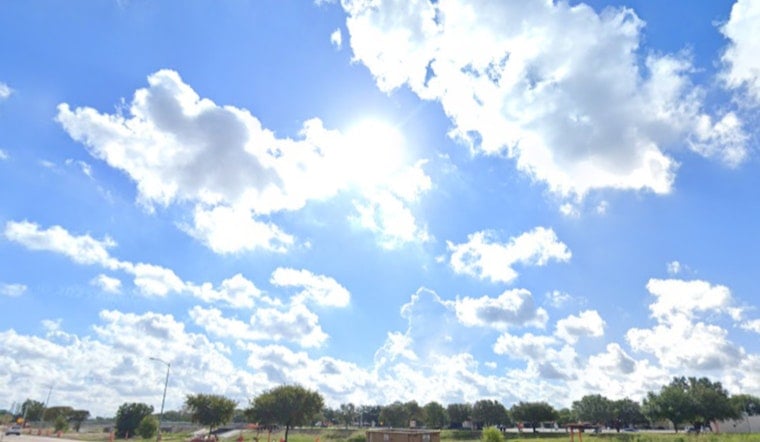
Houston is rolling into Thursday, July 9, under clear, muggy skies with temperatures already near 79°F. The heat builds quickly from there, with afternoon highs expected to top out around 95°F and the heat index climbing to about 104°F. South winds stay on the lighter side, generally under 10 mph, before picking up a bit later in the day.
Afternoon Storms Mostly Near The Coast
Meteorologists at the NWS Houston/Galveston put odds of showers and thunderstorms at roughly 30 percent this afternoon, mainly after about 1 p.m. along the sea-breeze corridor near Galveston and the coast. Inland, rain chances run lower, and any storms that do pop up should keep rainfall totals under about a tenth of an inch.
The same office notes that deeper Gulf moisture starts moving in on Friday, July 10, which nudges rain chances up into the 30 to 70 percent range at times through the weekend and keeps heat-index readings parked in the low 100s.
Heat And Safety
With high heat and humidity in play, vulnerable residents are urged to take it easy: stay hydrated, rest in the shade when you can, and try to avoid heavy outdoor work during the hottest afternoon hours.
For anyone needing air-conditioned relief, Reliant's Beat the Heat centers are open across the city (Reliant). If you or someone around you shows signs of heat illness, seek medical help right away or call 911.



