

























































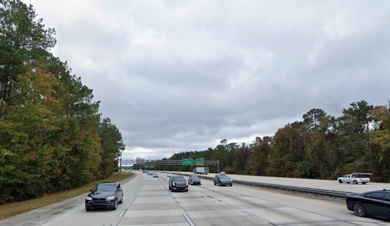
Jacksonville is waking up to a mostly cloudy, muggy Monday morning on July 13, 2026, with temperatures already sitting in the upper 70s. Showers and thunderstorms are expected to bubble up around midday and really get going in the afternoon, with the main action between about 1 p.m. and 5 p.m. Brief heavy downpours, frequent lightning and gusty winds could throw a wrench into commutes and outdoor plans.
Afternoon Storms And Travel
According to the National Weather Service in Jacksonville, there is a 70–80% chance of showers and thunderstorms this afternoon, with new rainfall amounts of a quarter to a half-inch possible and gusts locally near 28 mph. A few stronger, pulsing cells, especially inland toward southeast Georgia, could crank out brief gusts up to 40–60 mph along with localized flash flooding. Drivers should be ready for sudden drops in visibility and standing water on low-lying roads during the heaviest bursts of rain.
Evening, Tuesday And The Week Ahead
Storms may linger into the evening with overnight lows around 75, then taper off overnight into Tuesday morning. Widespread rounds of showers and thunderstorms are likely again on Tuesday, July 14, 2026, before the pattern shifts back toward building heat and humidity later in the week, with highs climbing into the low-to-mid 90s and heat index values near 100–105. For background on the developing heat pattern and local cooling resources, see our earlier coverage in heat cranks up and storms fire.
Plan Ahead
Give yourself extra time for afternoon commutes, tie down or bring in loose outdoor gear, and avoid low-water crossings while storms move through. If your plans include outdoor events or beach time, have a backup option ready, since thunderstorms can pop up quickly even with a low rip-current risk expected this week. For the latest watches or warnings, check weather.gov/jax.





