

























































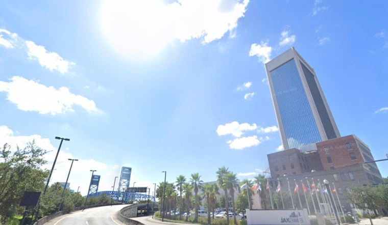
Tuesday, July 7, 2026 — Jacksonville wakes to a muggy, partly cloudy morning with temperatures near 77 F and dew points in the low 70s. A hot afternoon is on tap, with highs around 95 F and heat index values near 105 F that will make any extended time outdoors feel considerably hotter.
Afternoon Storms And Winds
A chance of showers and thunderstorms develops after 1 p.m., mainly inland and along the sea-breeze boundary. Overall rain chances are modest, around 30 percent, but isolated storms could bring brief heavy downpours and frequent lightning. Southwest winds will run 6 to 10 mph with gusts up to roughly 17 mph, and they can spike around any stronger cells. Plan for quick downpours and possible delays if you have afternoon outdoor plans, and head indoors at the first sign of lightning, according to the National Weather Service.
Heat Through The Week
Wednesday and Thursday look even hotter, with highs climbing into the mid to upper 90s and afternoon heat indices in the 103 to 109 F range. Drier air and a building ridge will keep storm coverage limited midweek, though a stray coastal storm cannot be ruled out. More widespread shower and thunderstorm activity is expected to return late this weekend into early next week.
Stay Cool And Beach Safety
The City maintains a list of cooling centers and activation guidance for extreme heat. Residents without reliable air conditioning should check the City’s Stay Cool Jax page for locations and hours. The hottest part of each day will be roughly noon to 6 p.m., so shift strenuous activity to mornings or evenings, drink water, and check on older neighbors and pets. Beachgoers should also note a moderate rip current risk this afternoon and follow lifeguard instructions.





