

























































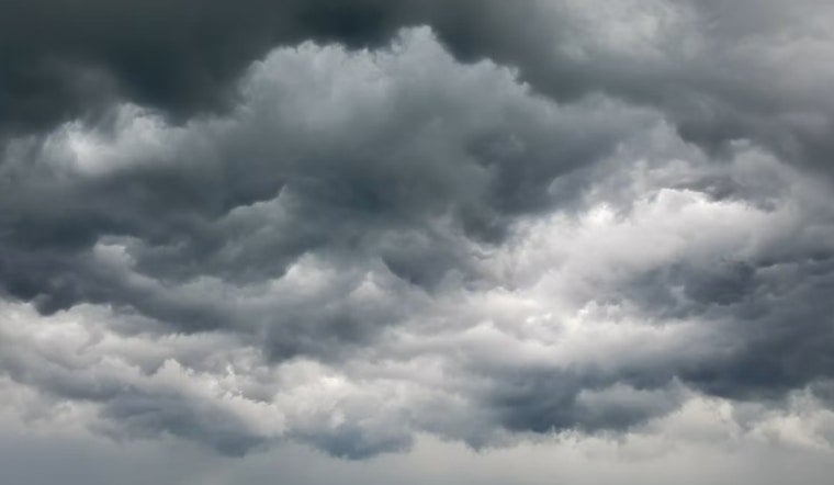
Raleigh is starting Sunday, July 12 on a sticky note, with temperatures near 75°F and dew points lingering in the low 70s. That muggy air is the fuel that will help fire up scattered showers and thunderstorms this afternoon and into the evening.
Afternoon And Evening Storms
Showers and scattered thunderstorms are expected to pop up after noon and continue through the evening. According to the National Weather Service Raleigh, some of these storms could bring damaging wind gusts and brief, intense downpours, with new rainfall totals around a quarter to a half inch possible tonight.
What This Means For Your Plans
Short bursts of heavy rain can quickly cut visibility and leave roads slick, so build in extra time for the evening drive and avoid low spots that tend to flood. If you have outdoor plans, have a backup ready indoors; lightning and gusty winds may knock down small branches and cause brief power outages.
Cooler Monday, Heat Returns Midweek
Monday will feel noticeably cooler, with highs stuck in the upper 70s. Additional bands of heavy rain are possible, and some locations could pick up a half to three-quarters of an inch of rain, according to the National Weather Service Raleigh. After that brief break, heat builds back in by midweek, with highs climbing into the mid 90s on Wednesday and reaching the upper 90s by Thursday. Heat indices could push into the 100–105°F range in parts of the Triangle.
Stay Cool And Plan Ahead
If you do not have air conditioning or you work outside, plan now for the midweek heat and line up a cool place to go before the day hits its peak. Local resources list cooling sites and safety tips. For details on cooling centers and heat guidance, visit the City of Raleigh page.





