

























































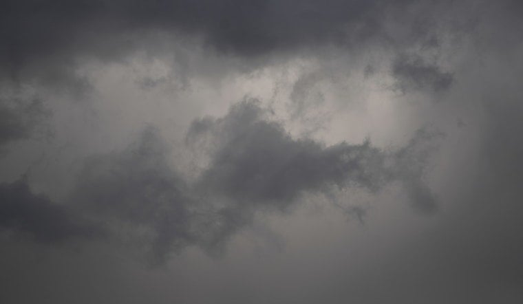
Milwaukee wakes up under a blanket of low clouds and humidity on Thursday, July 9, with temperatures parked near 72°F and a dew point in the upper 60s. It feels every bit as sticky as it sounds. Expect a high around 80°F, but do not count on a dry day. Scattered showers and a few thunderstorms are likely to pop up from midday through the evening, so if you have outdoor plans, keep a Plan B ready and an eye on radar for slow‑moving cells.
Afternoon Storm Risk
The best window for storms runs from mid‑afternoon into early evening, particularly closer to the Wisconsin–Illinois border. According to the National Weather Service, a few stronger storms could bring gusty winds, small hail and pockets of heavy rain. Because the storms will be slow to move, brief urban and poor‑drainage flooding is on the table.
Fog Near The Lake
Once the front slips by, northeast winds tonight into Friday morning will pull moisture off Lake Michigan. That setup could spin up patchy, locally dense fog along the lakeshore, trimming visibility on shoreline roads and bike paths. Hoodline flagged a similar setup earlier this week; check out that earlier shore-fog update for some handy shoreline commute tips.
Friday And Early Next Week
Friday, July 10, looks like a weather breather. Patchy morning fog should thin to mostly sunny skies with highs near 79°F. The National Weather Service says an upper ridge is expected to build in over the weekend, pushing highs into the mid to upper 80s early next week, Monday through Wednesday, July 13 to 15. Heat indices could creep into the low 90s.
What To Do Today
For today, think flexible and waterproof. Bring layers and rain gear for afternoon and evening outings, and if you see lightning, move indoors right away and keep kids and pets away from standing water. Along the lakefront, slow down if fog rolls in, use low beams and pad your morning commute with extra time. For evening travel, keep an eye on local radar and your carrier or transit app in case storms shuffle your schedule.





