

























































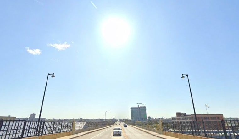
Milwaukee is waking up to clear skies and a refreshing, cool start this Monday morning, with temperatures sitting in the mid-60s at Mitchell Airport and light northerly breezes in play. High pressure will keep things quiet, dry and bright through the day, with afternoon highs near 77°F along the lakefront and a few degrees warmer as you head inland.
Afternoon Breeze Keeps Shoreline Cooler
Expect wall-to-wall sunshine and a gentle northeast wind around 5 to 10 mph this afternoon, with a bit more punch right along Lake Michigan. That onshore flow will knock a few degrees off temperatures near the water, so lakeside neighborhoods will feel noticeably cooler than spots farther inland.
Midweek Heat And Storm Risk
Temperatures begin to climb on Tuesday and peak around midweek, with inland highs pushing into the upper 80s and Wednesday looking like the hottest day in the stretch. Shower and thunderstorm chances jump up Wednesday night into Thursday, and showers and storms are likely on Thursday, with localized rainfall of a tenth to a quarter of an inch possible, according to the NWS Milwaukee.
Plan Ahead For Outdoor Events
If you have outdoor plans Wednesday night or Thursday, work in a backup shelter option and keep the rain gear within reach, since storms could bring brief heavy downpours or gusty winds that are strong enough to topple umbrellas and light patio furniture. The exact timing is still a bit fuzzy, so it is worth checking updated forecasts on Tuesday and Wednesday before you lock in any big gatherings.
Related Coverage
The area has already dealt with heat and storm headlines earlier this week. For background, see Milwaukee bakes then braces for dicey July 4 storms. There are no watches or warnings in effect for Milwaukee County this morning, and this story will be updated if that changes.





