

























































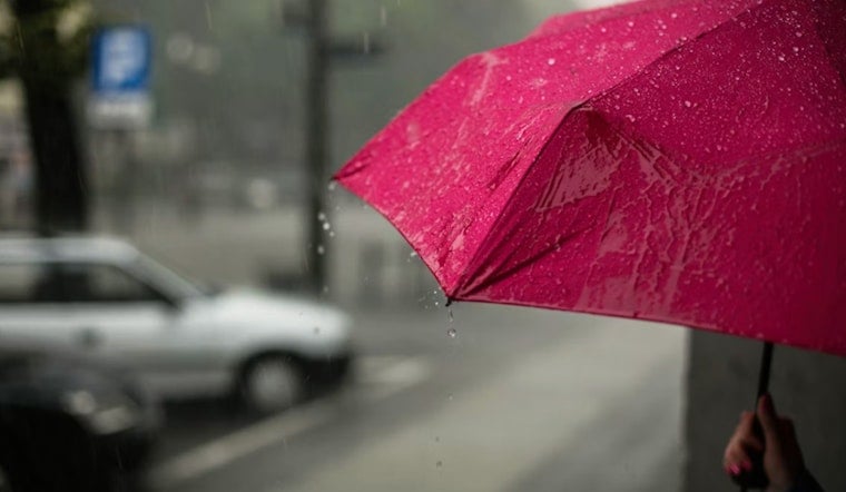
Seattle woke up to mostly clear skies and temperatures near 60°F early Thursday, July 16, 2026, but that calm start will not stick around for long. A passing low pressure system is set to drag rain into the region later today, with the steadiest action expected from late morning into the afternoon and highs topping out in the mid-70s.
When Rain And Storms Will Hit
Showers are likely before 11 a.m. Thursday, then showers and thunderstorms become most probable from late morning through the early to mid afternoon. Rain chances peak this afternoon, and brief, localized downpours are possible, so outdoor plans might need a backup option.
Advisories And Marine Concerns
The National Weather Service has issued a Red Flag Warning for parts of the Olympic and Cascade mountains through 11 p.m. Thursday and a Small Craft Advisory for the central Strait from about 1 p.m. to 11 p.m. Expect gusty outflows and building seas for small vessels. Dry lightning is a particular concern over drier mountain fuels, and any thunderstorms could produce strong, erratic wind gusts.
How This Could Affect Your Commute
Plan on wet roads and slower mid-day travel, and build in extra time for errands and appointments. Isolated thunderstorms could briefly cut visibility and kick up sudden gusts that make driving tricky. Airport operations at KSEA and nearby terminals may see brief MVFR conditions or gusty winds, so if you have an afternoon flight, it is worth checking in with your carrier.
Quick Take
Thursday will run cooler and wetter than earlier in the week, with drier, warmer conditions set to return Friday and hold through the weekend. For background on the week’s pattern, see our "classic summer Tuesday" breakdown.





