

























































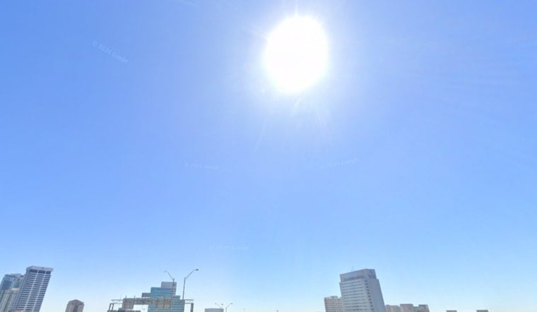
Sunday, July 12 started thick and steamy in Jacksonville, with temps heading toward 96°F and humidity pushing the heat index into the low- to mid-100s. Showers and thunderstorms are expected to bubble up after noon and grow more widespread into the early evening, so any outdoor plans may be dodging both sun and storms.
Heat Advisory And Peak Hours
A Heat Advisory is in effect from 11 a.m. to 7 p.m. on Sunday, July 12. According to the National Weather Service, heat-index readings could climb to around 106–110°F in some spots, and residents are urged to limit strenuous outdoor activity during those hours.
Winds will generally run out of the southwest at 5–13 mph, with gusts up to about 20–21 mph this afternoon. Stronger downburst winds remain possible in the most intense storms, so anything not tied down in the yard might be better off inside.
Where To Cool Off And How To Get There
The City of Jacksonville has activated its Cooling Center Contingency Plan through Sunday, July 12 and opened two main relief sites: the Main Library at 303 N. Laura St. and the Legends Center at 5130 Soutel Dr. Both locations operate from 11 a.m. to 6 p.m. on activation days.
Jacksonville Transportation Authority (JTA) will provide free rides to designated cooling centers. Riders should tell the bus driver they are traveling to a cooling center to receive the fare waiver.
Afternoon Storms And The Ride Home
Storms are expected to fire along sea-breeze boundaries after about midday, then drift and spread east through the afternoon and early evening. Brief heavy downpours could quickly cut visibility and trigger localized street flooding, especially in poor drainage spots.
Any stronger storms could bring frequent lightning and gusty outflow winds, so it is a good idea to move outdoor events indoors if possible and slow down on wet roads. Check the latest local forecast before heading out, and keep water and shade close by if you need to be outside during the peak heat.





