

























































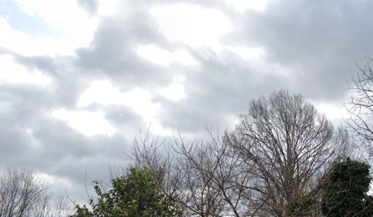
Tampa rolled into Tuesday, July 14, 2026, under thick summer humidity and another round of pop-up storm potential. The high should land near 94°F, with heat-index values climbing to about 103°F. Scattered showers and thunderstorms are possible from roughly 9 a.m. to 5 p.m., and while most neighborhoods will only see brief, light rain, the muggy air will make it feel a lot hotter than the thermometer suggests.
Afternoon Storms and Heat
Forecasters expect the greatest coverage of scattered showers and thunderstorms between about 9 a.m. and 5 p.m., especially inland and north of I-4. Any stronger cells that bubble up could bring short but heavy downpours, gusty or shifting winds, and frequent lightning, the kind that can slow the afternoon commute in a hurry. Tonight should turn partly cloudy, with just a few isolated storms lingering around 7 to 8 p.m., and lows near 78°F. Overall rainfall amounts are expected to stay on the lighter side. No watches or warnings are posted this morning, according to the National Weather Service Tampa Bay.
Where To Find Relief
The city typically opens cooling centers during extreme heat activations, and past setups have included Barksdale Adult Activity Center (1801 N. Lincoln Ave.) and Cuscaden Pool (2800 N. 15th St.). If you do not have air conditioning or you know you will be outdoors during peak heating, keep an eye on local updates before heading out and stick to the basics: drink plenty of water, grab shade when you can, and skip strenuous activity during the hottest part of the day. For locations and real-time opening details, check the City of Tampa.
Looking Ahead
Saharan dust higher in the atmosphere is expected to keep skies a bit hazy and hold back more widespread showers through midweek, while nudging daytime highs into the mid 90s. Rain chances should climb late this weekend as a tropical easterly wave edges closer, so if you are planning big outdoor activities, early mornings or late evenings will be your best bet for some relative relief.





